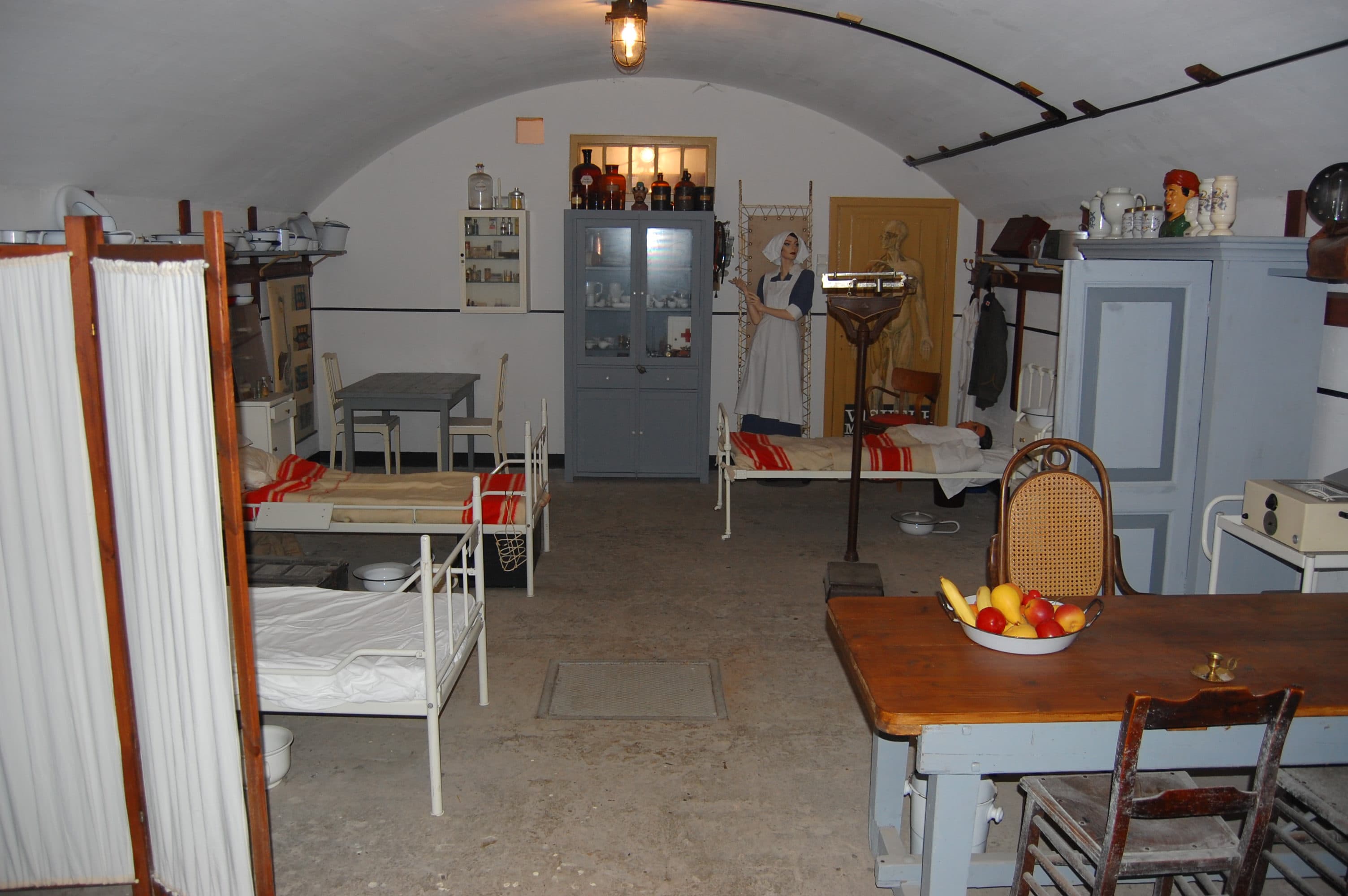
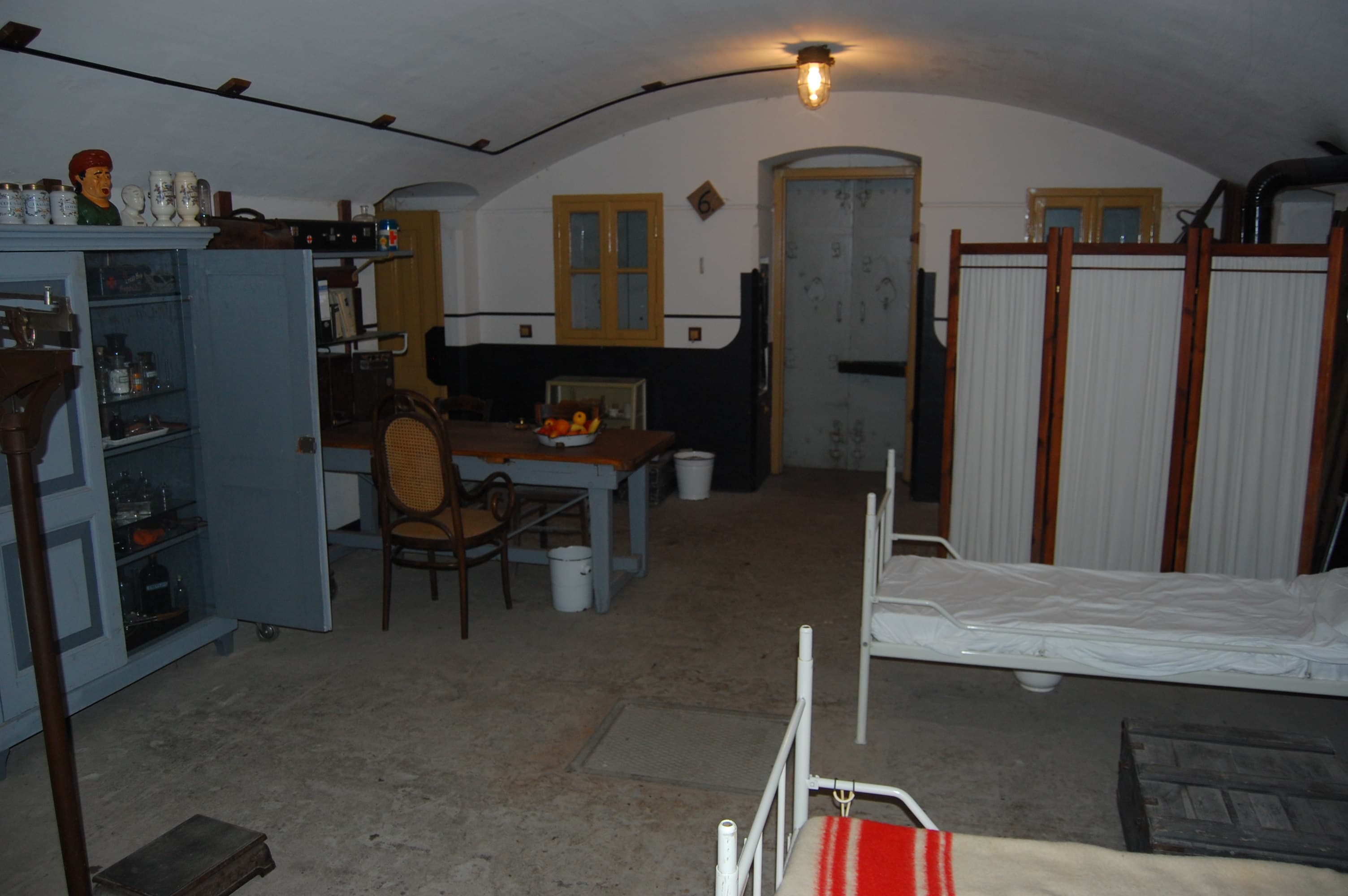
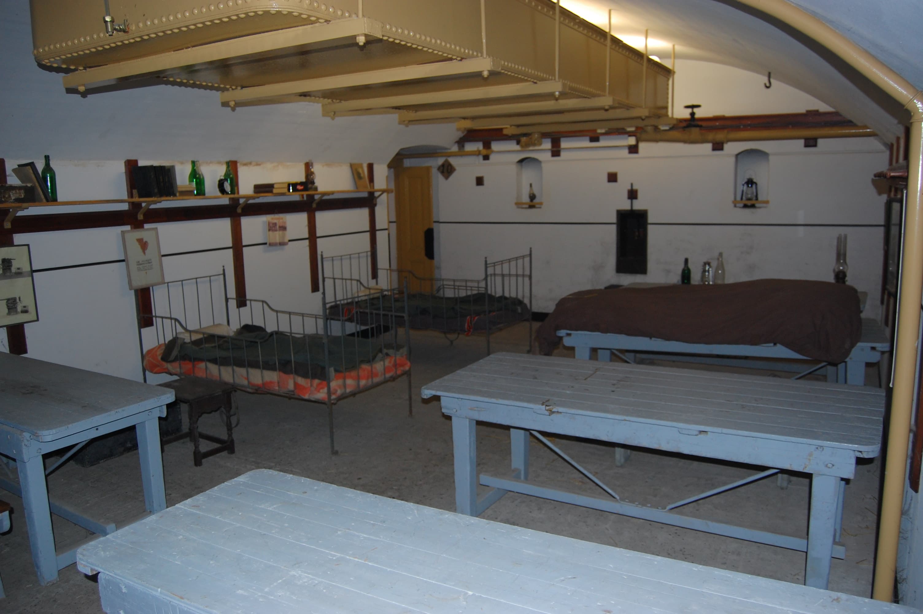
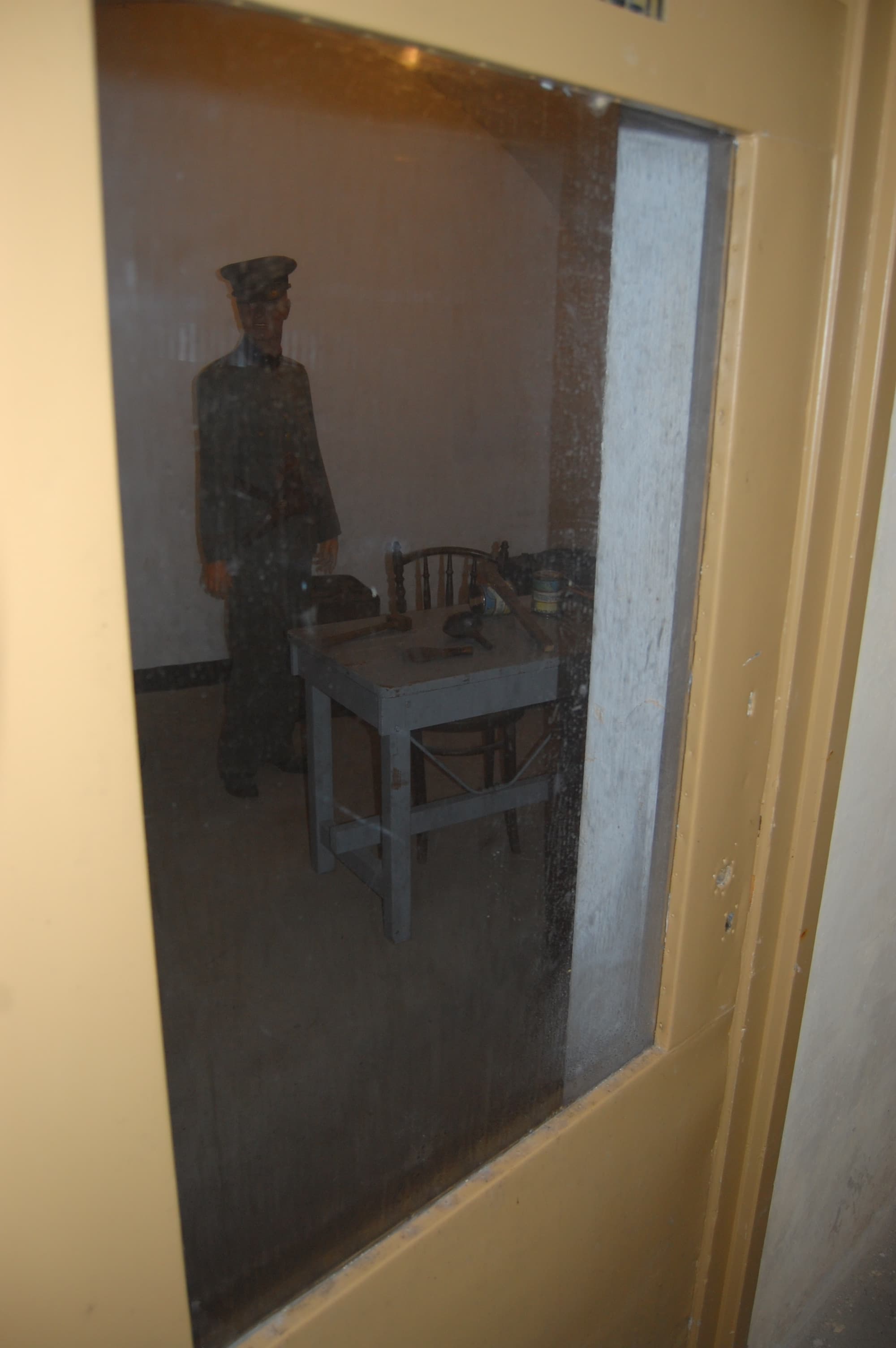
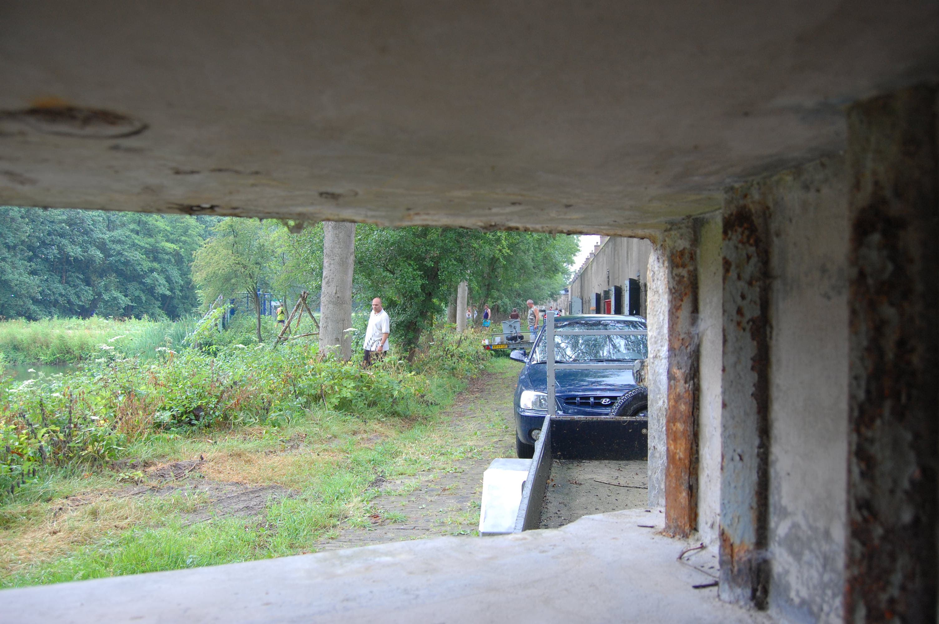
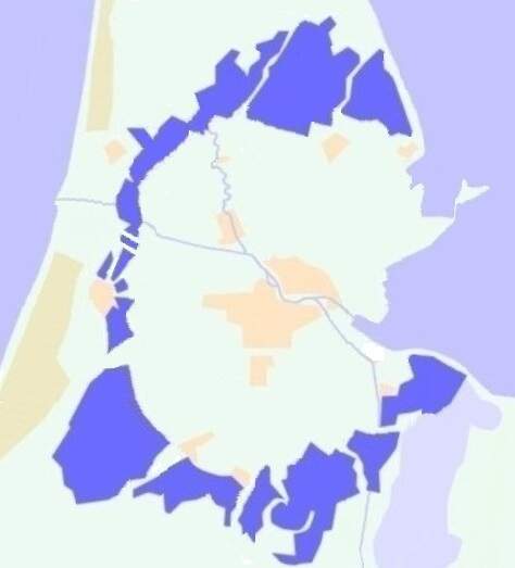
Around the capital of Amsterdam, a ring of 46 fortifications, artillery postions, dikes, sluices was constructed in the period of 1880 to 1920 with a total length of 135 kms.
The idea was that, in case of invasion, the capital, with it’s surroundings would function as a national reduit. With the technical situation of the time in mind, the distance between the forts and the capital was nowhere less than 15 km, making it impossible for artillery shells to reach the capital. The space was also needed to provide the expected number of people inside the fortress with sufficient food, at least till an ally came to the rescue.
The Stelling van Amsterdam was a supposed to be a Water line using inundation, a proven Dutch doctrine, which helped them several times. The last time this was used on a large scale, was against the French in 1672. The ideal depth was 50 cm, to deep to walk, to shallow to sail. With the crossing of the country by canals, big and small, those would be invisible too causing drownings and vehicles getting stuck. Locations where the inundations were either impossible (dikes, access roads, railroads) or that were too vunerable to let them just be protected by water were secures by several types of fortifications.
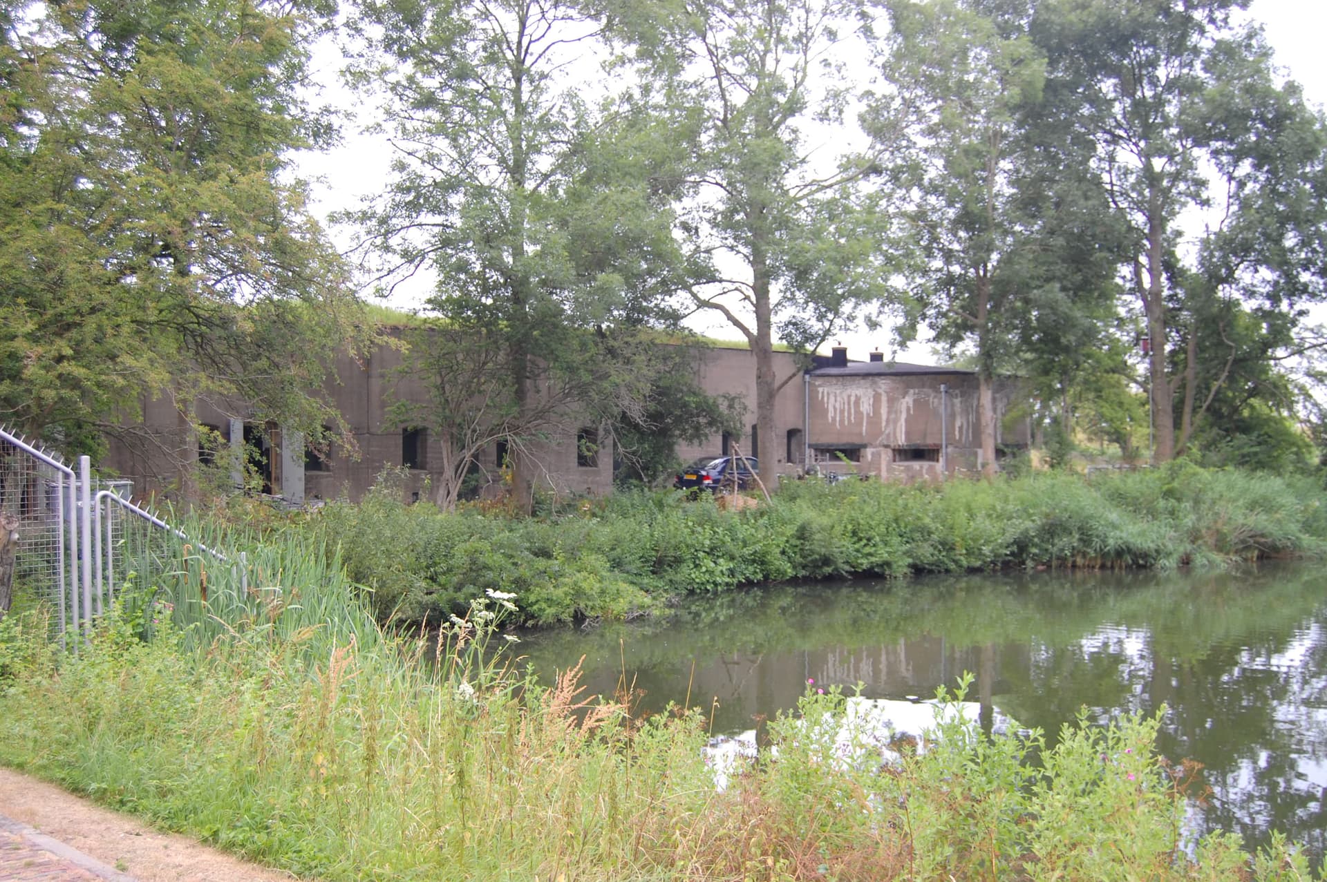
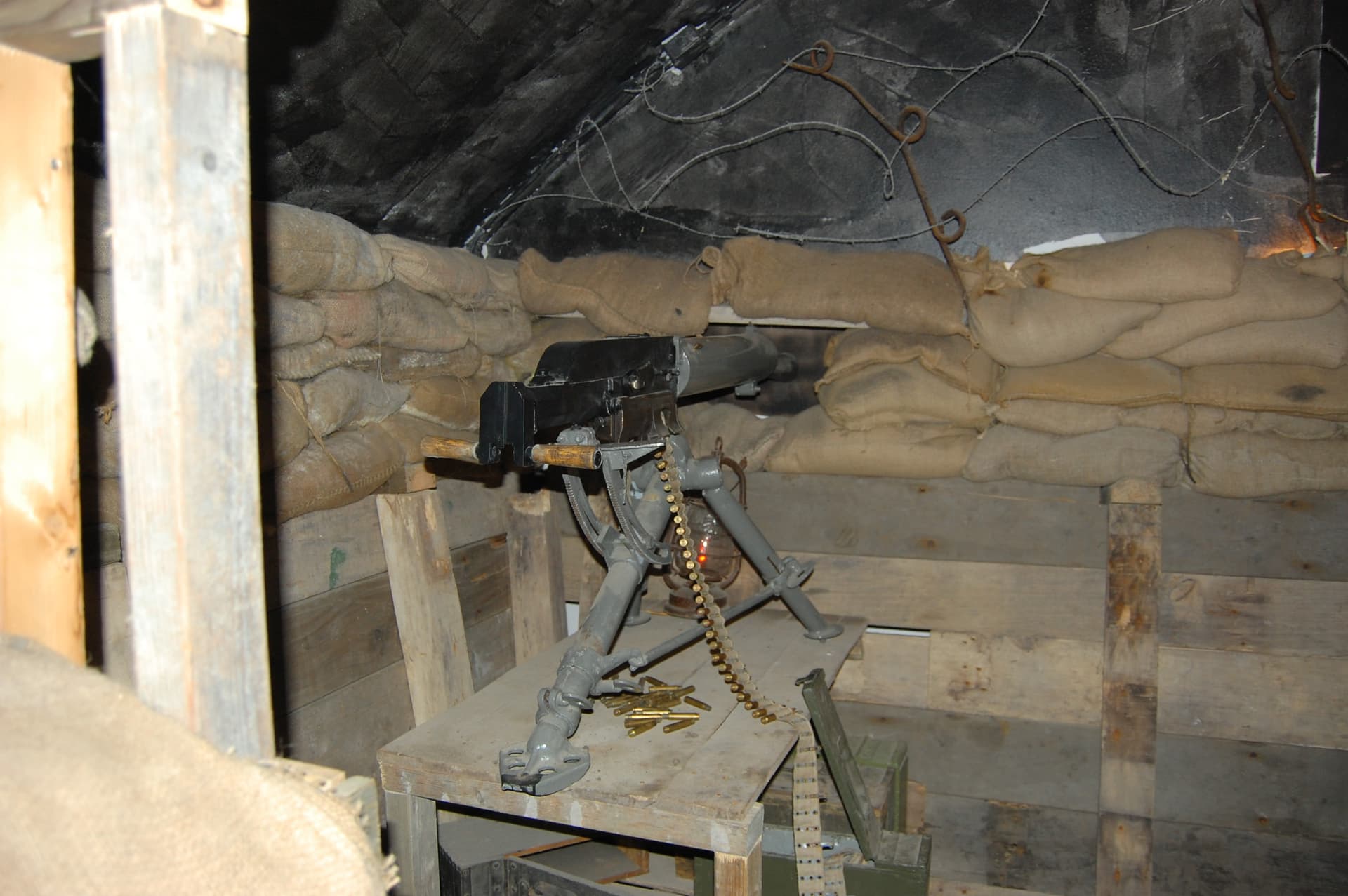
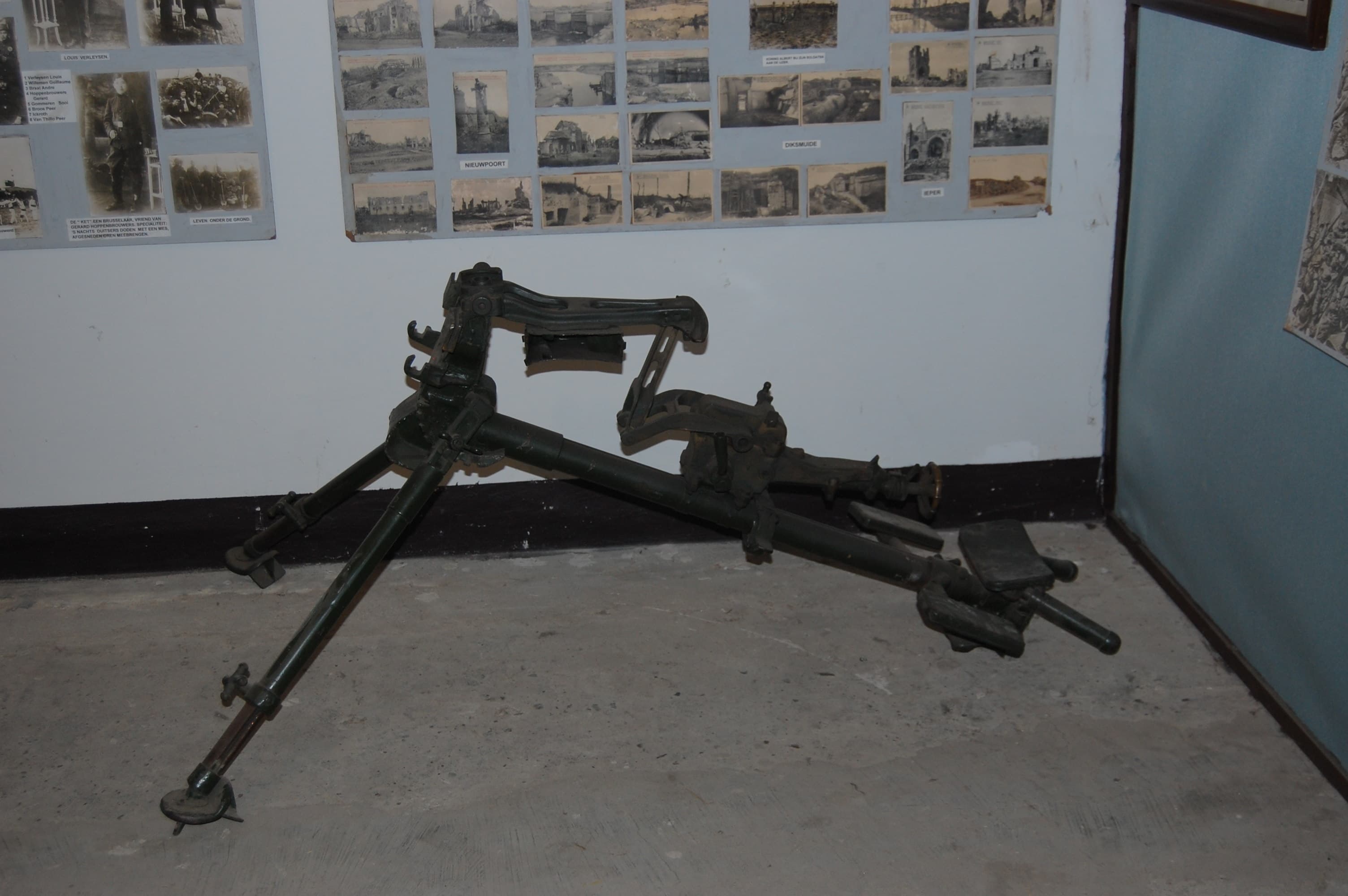
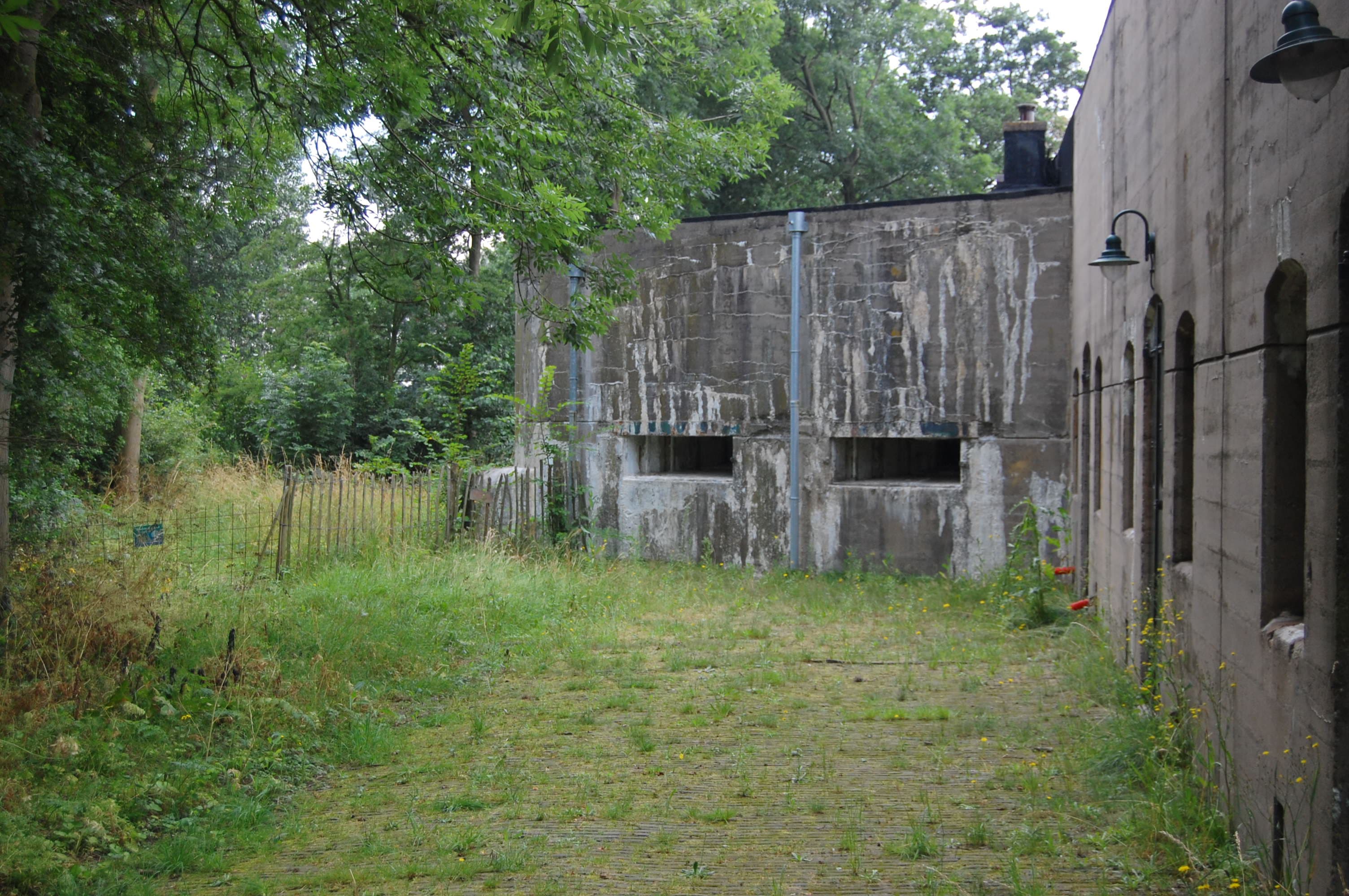
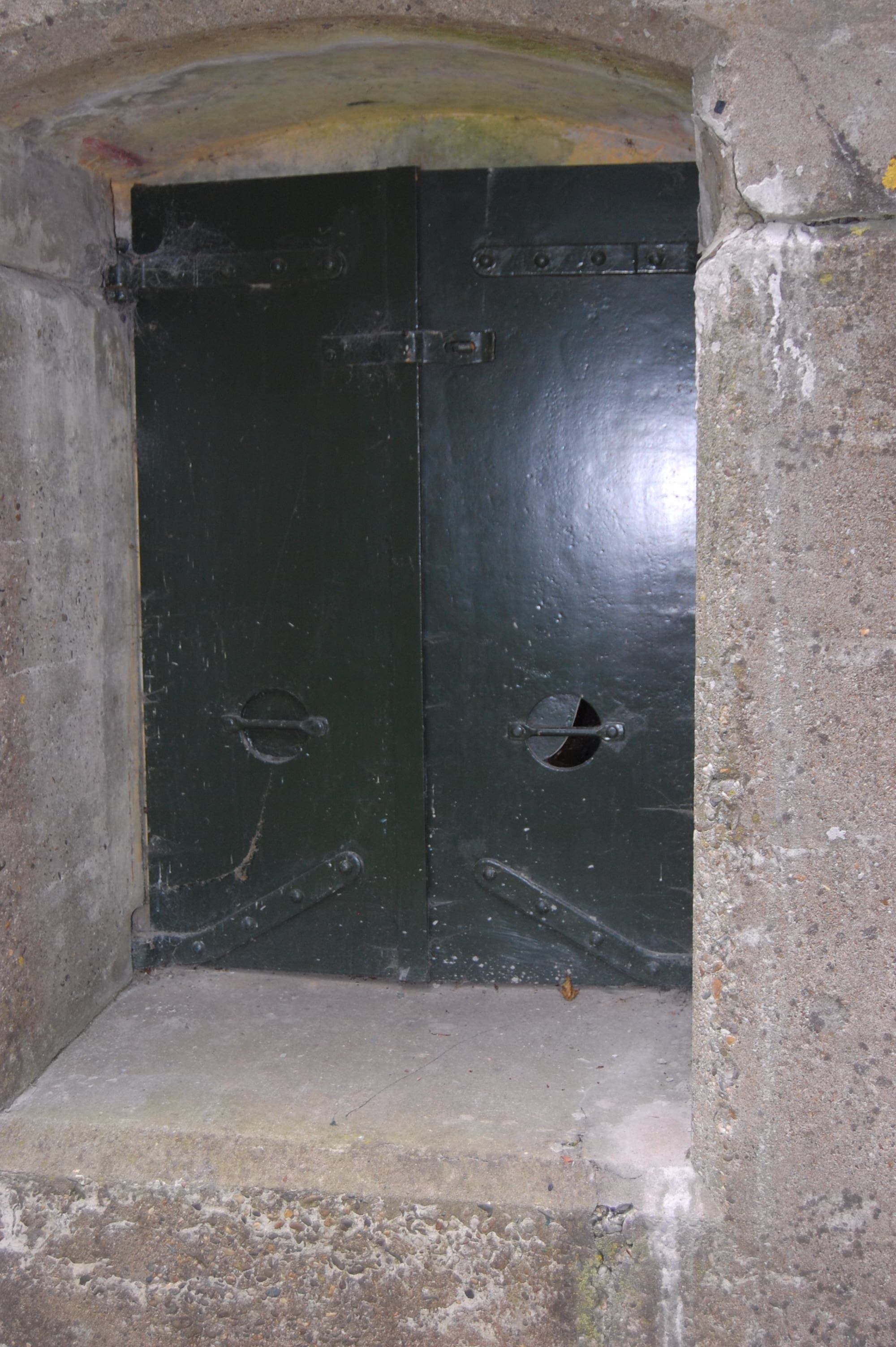
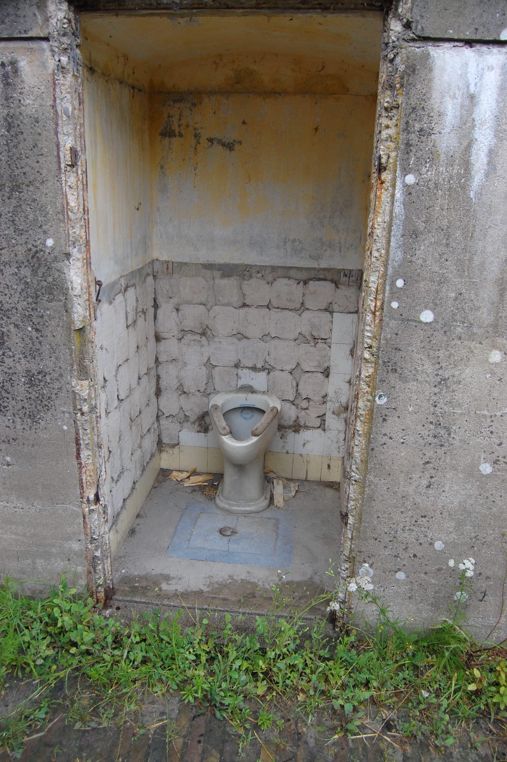
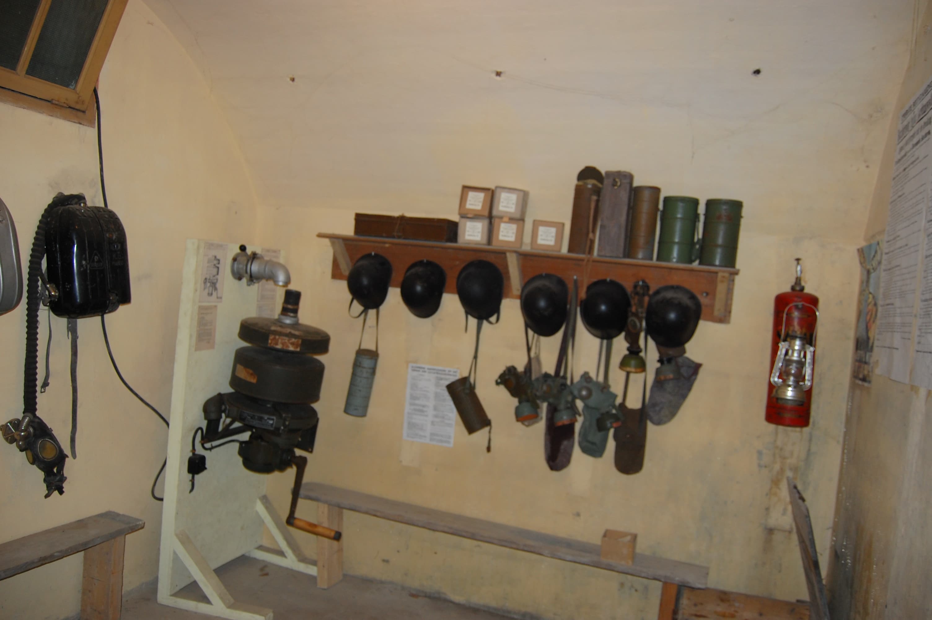
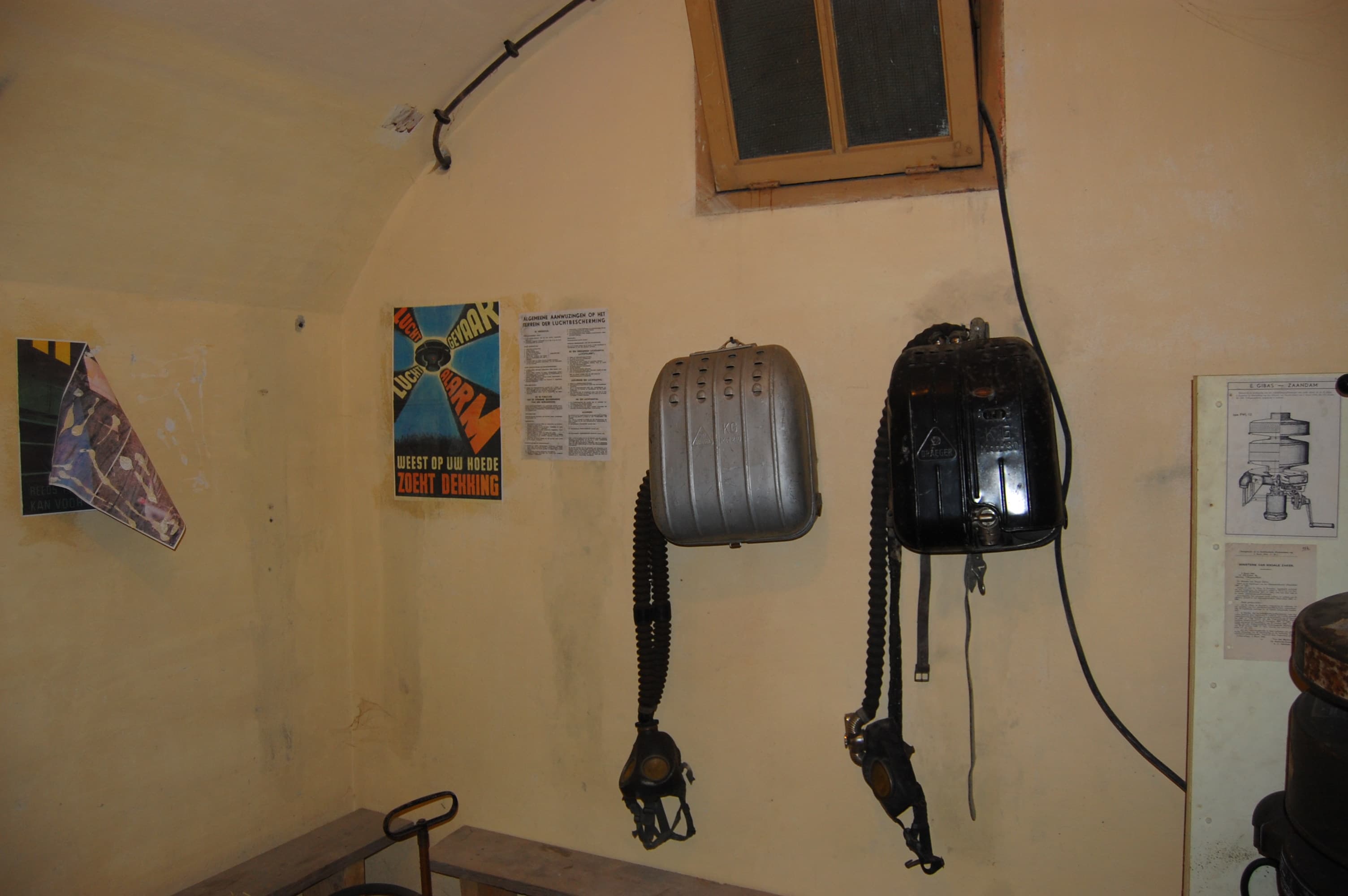
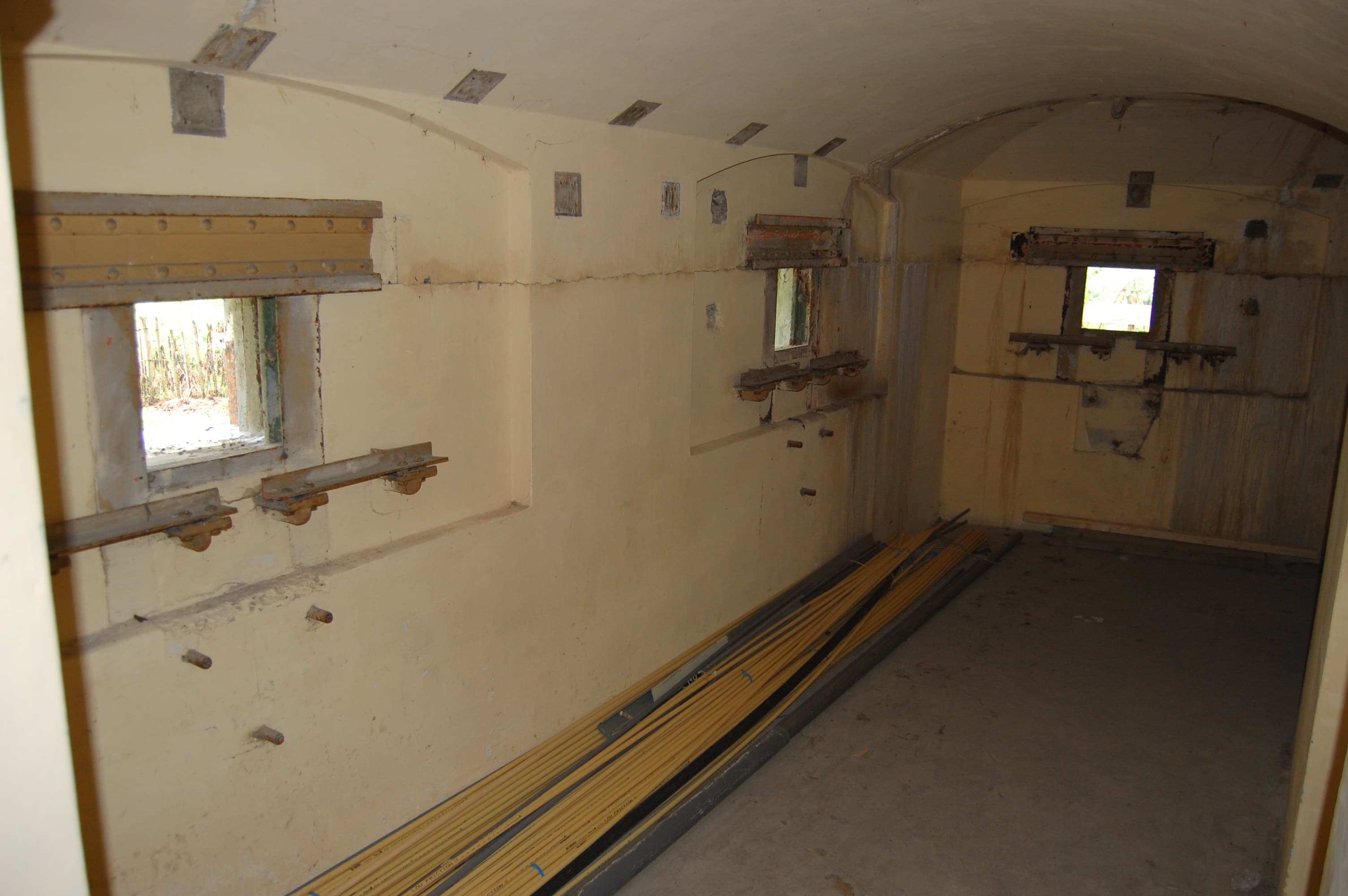
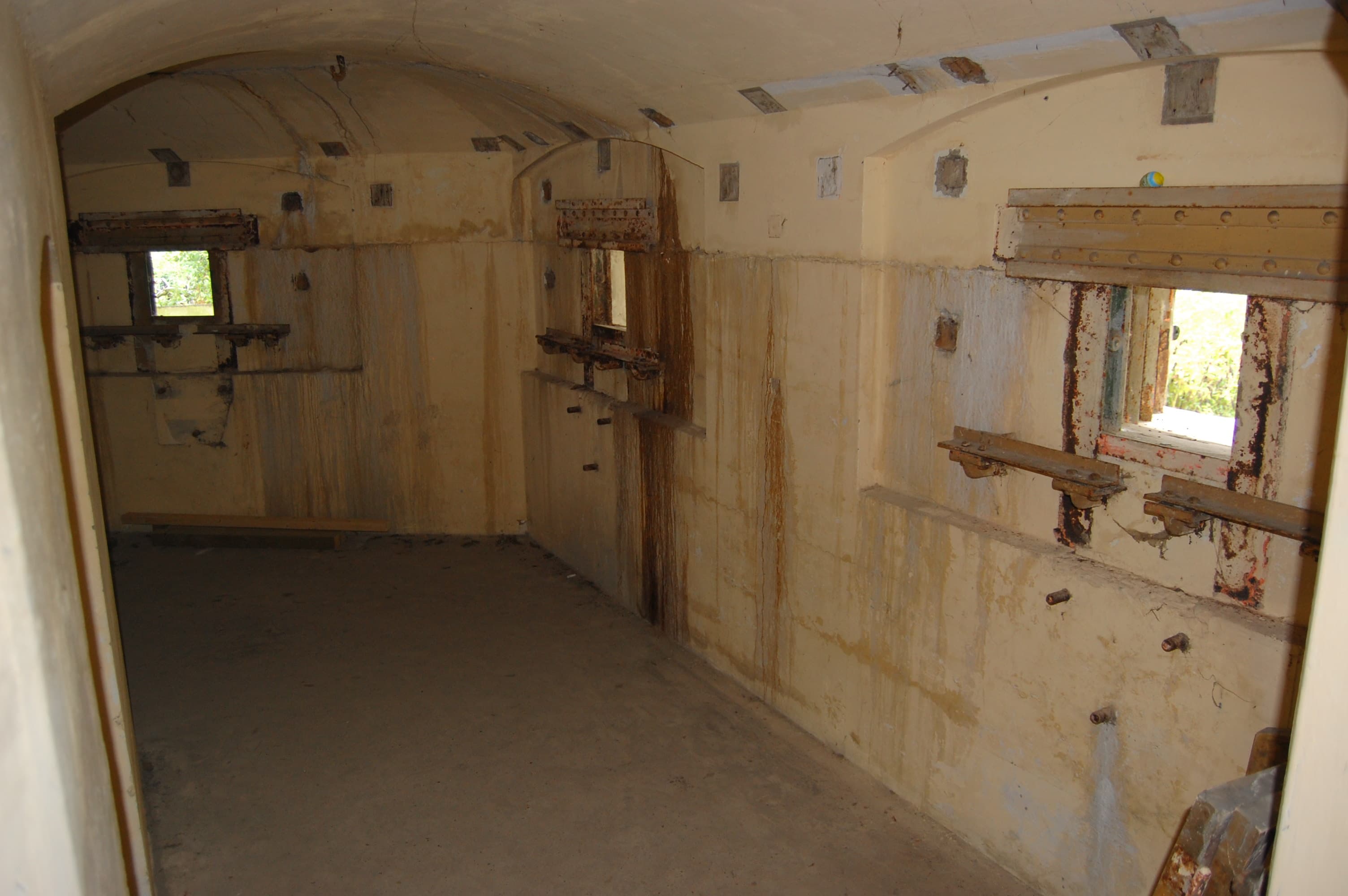
The fort that was on the north eastern point of the ring, and on the coast of the IJsselmeer, is Fort bij Edam. This fort, together with the Fort aan de Drecht (which I never visited) derrives from the other forts, that it has a so called Pantserkazemat (armoured casemate) that contains 2 70 mm guns in a single casemate. Other large forts contained 70 mm guns in one or two armoured dome(s) that could be raised and lowered.
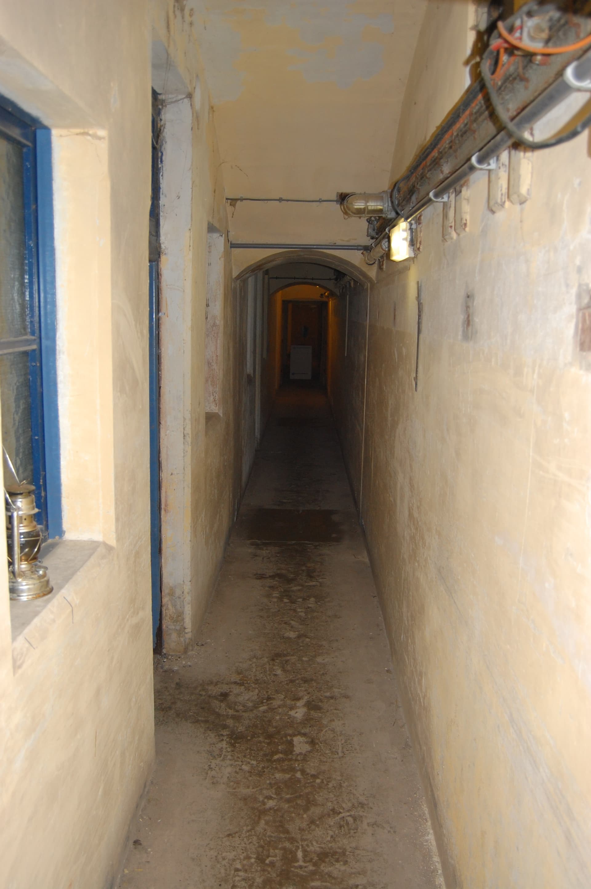
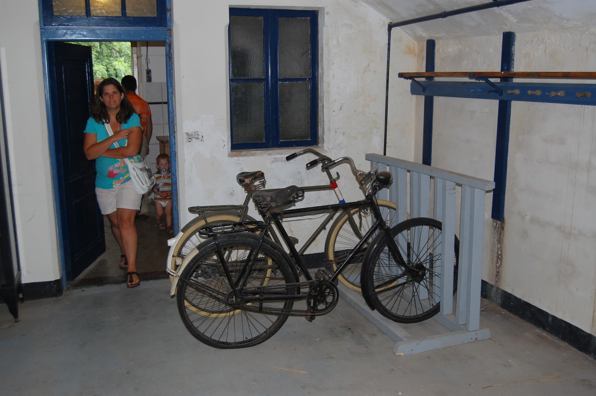
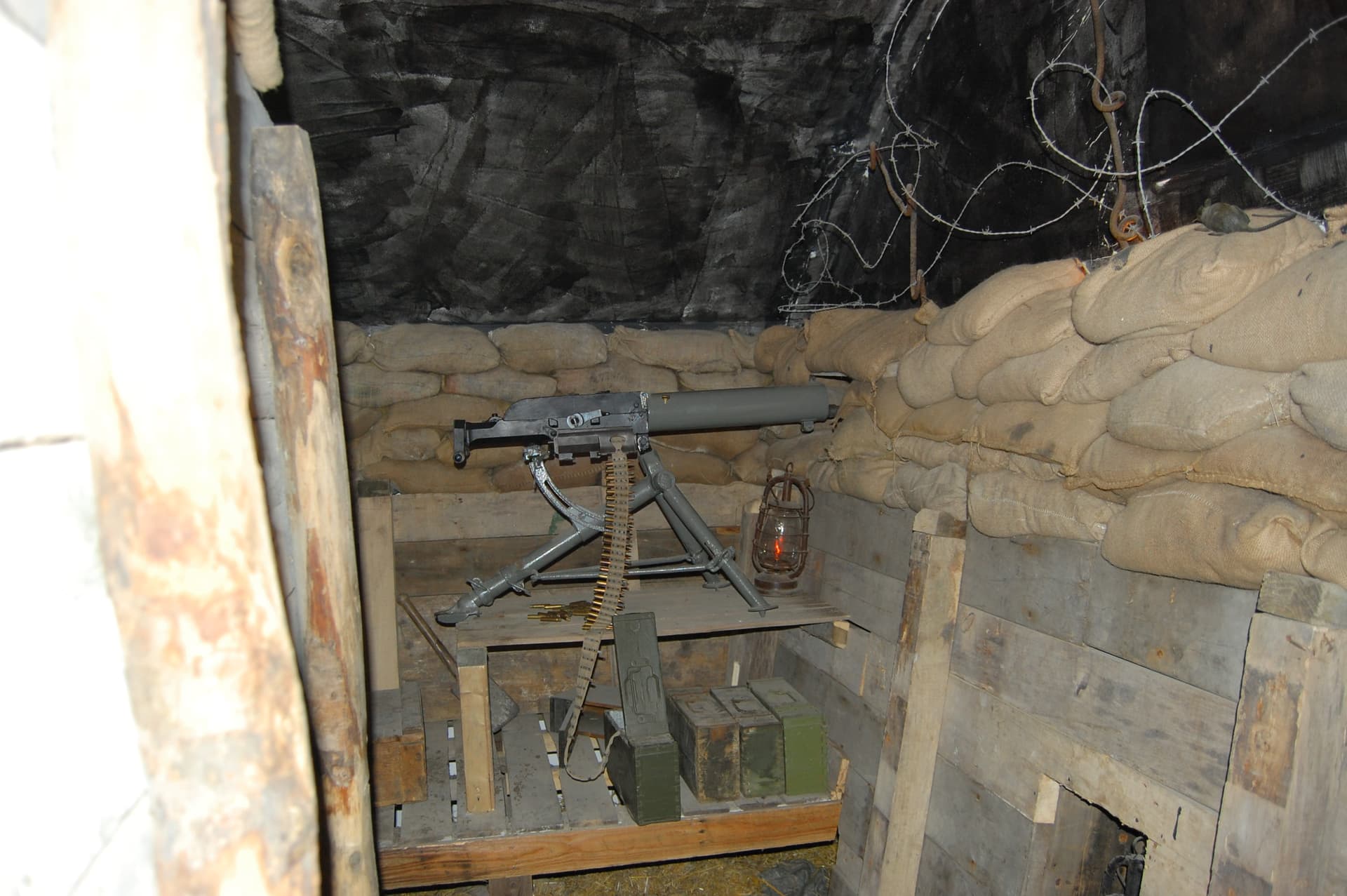
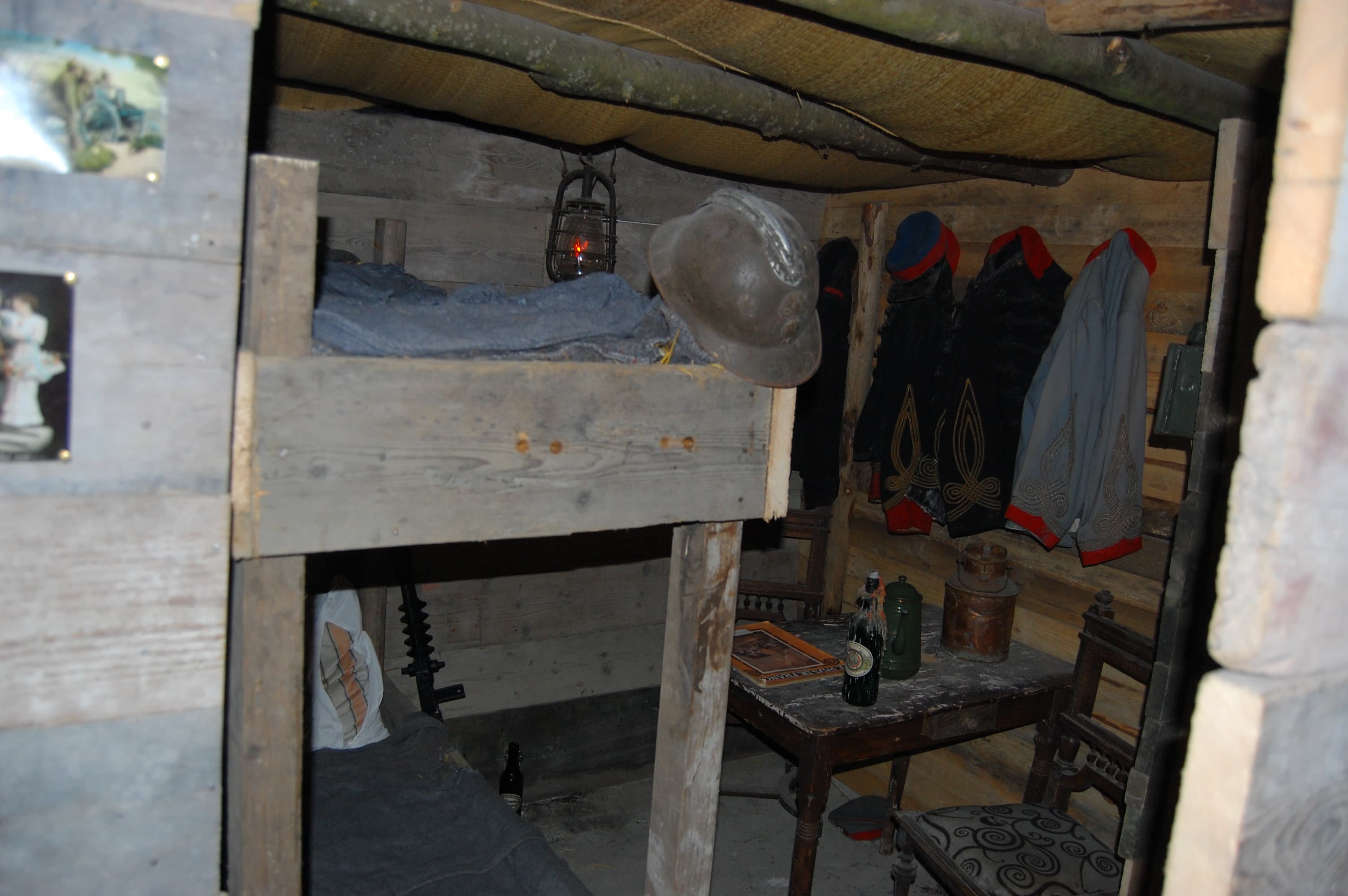
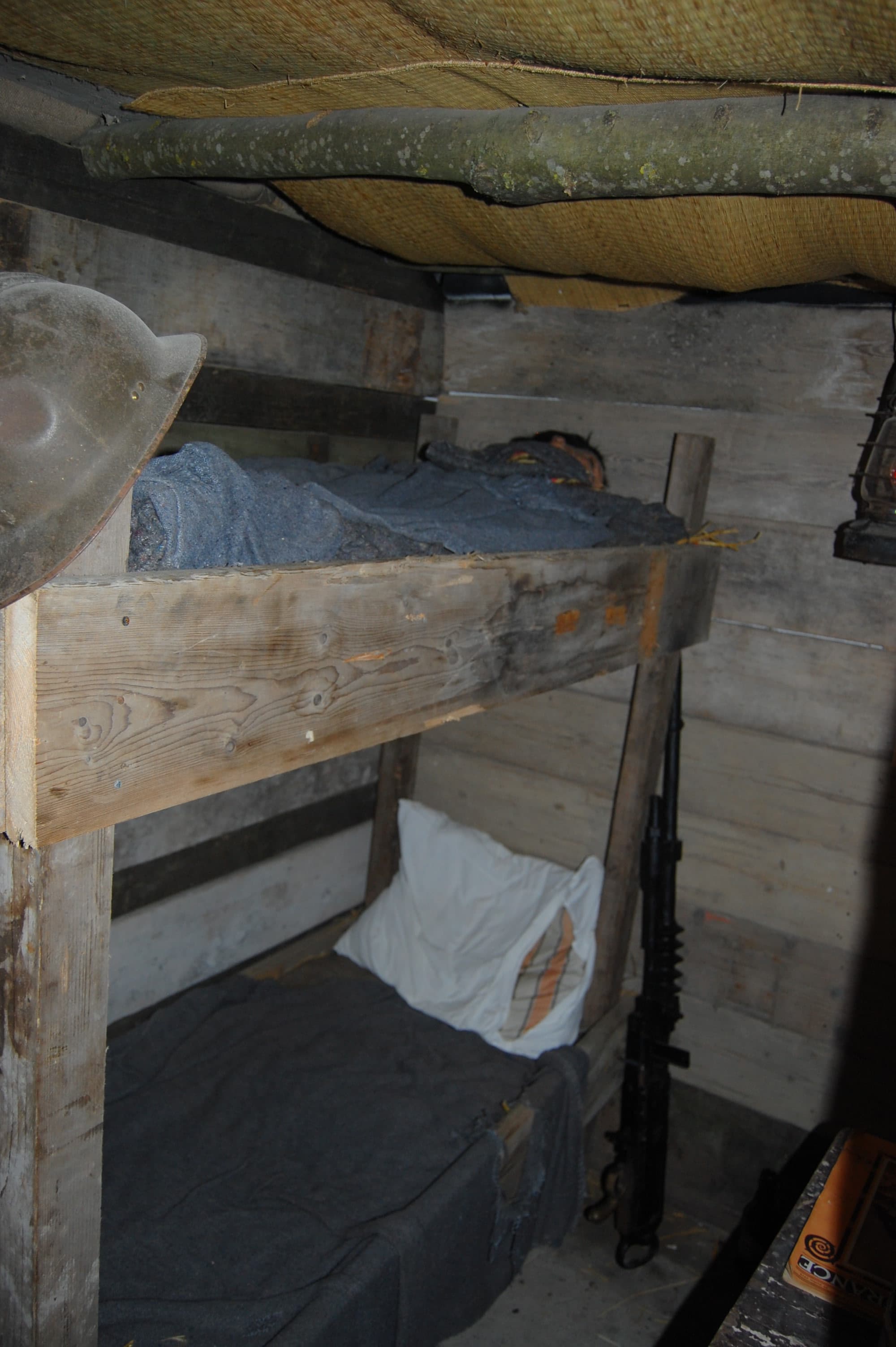
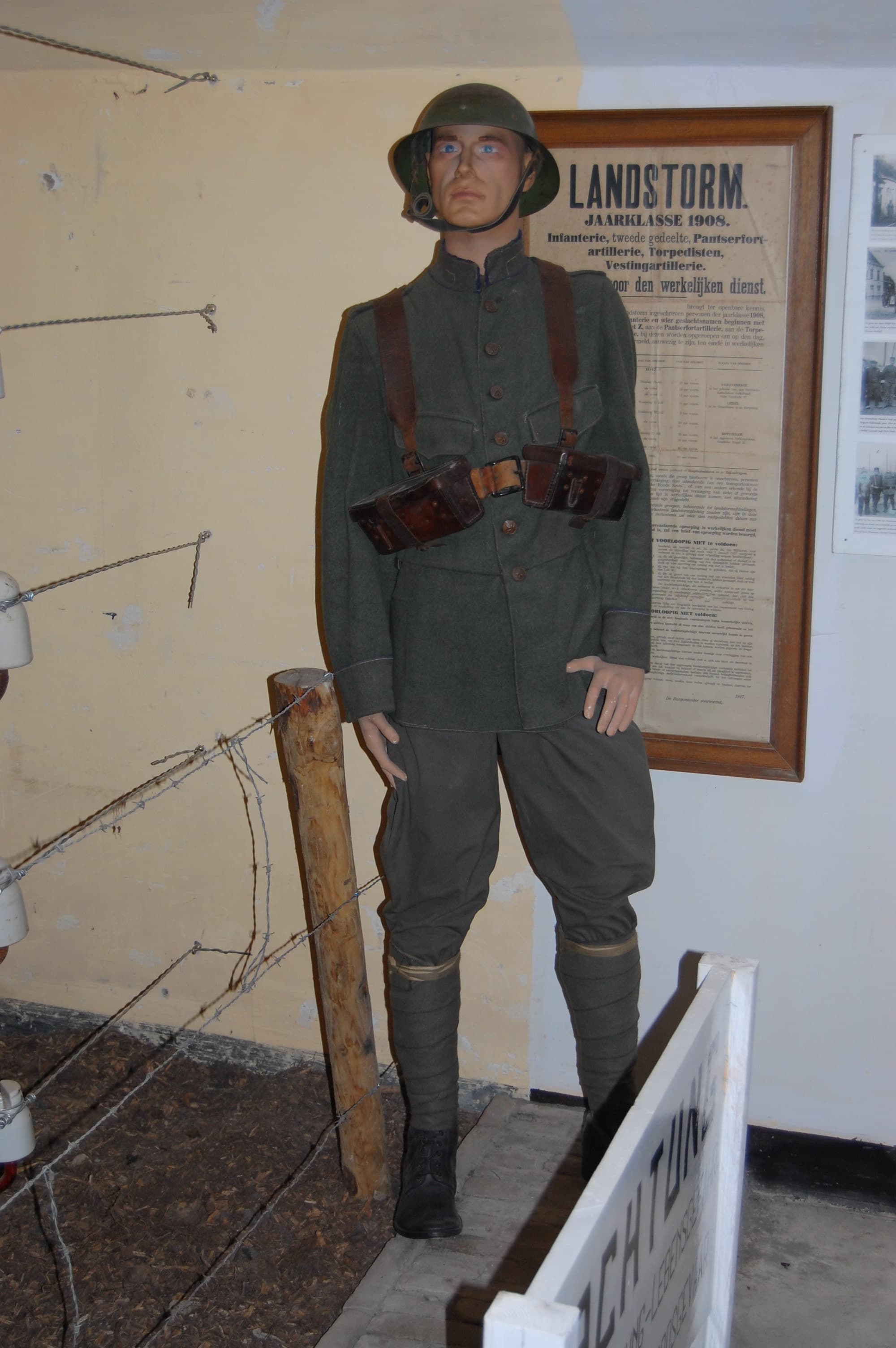
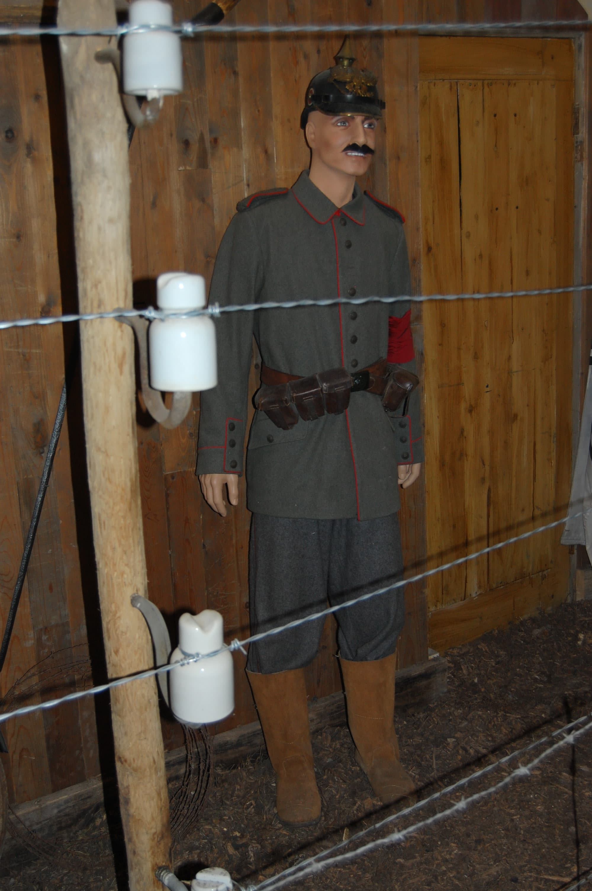
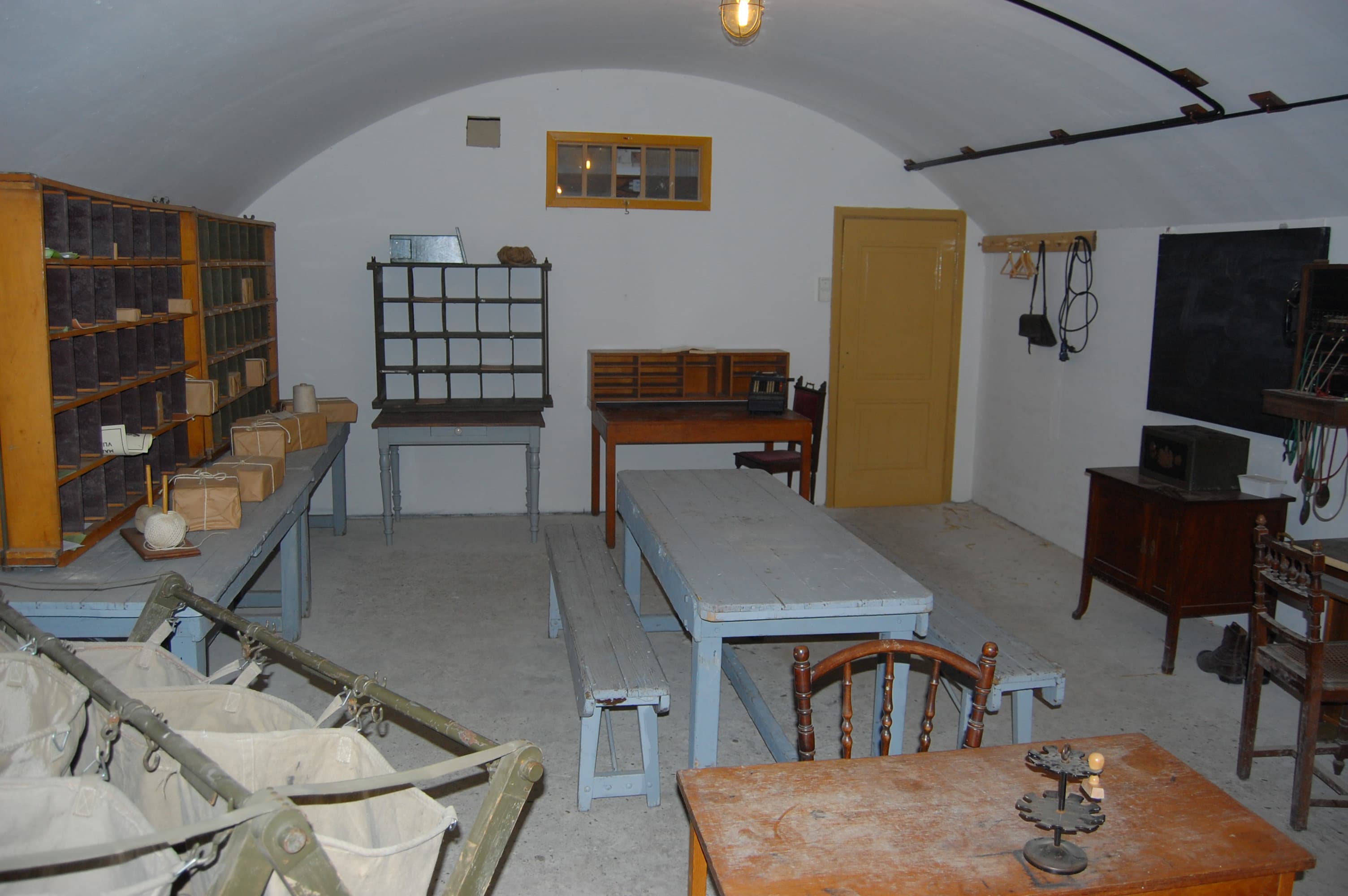
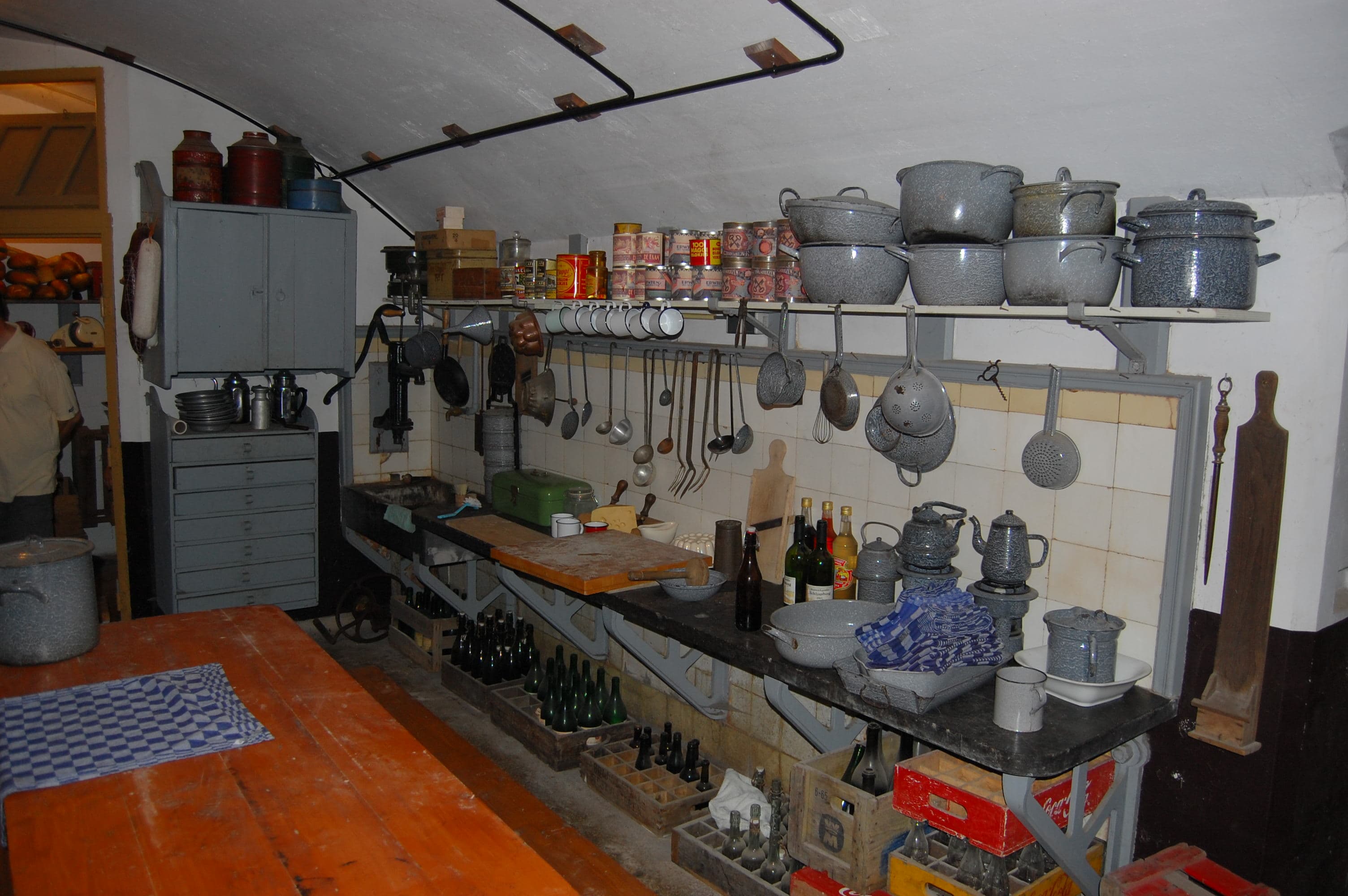
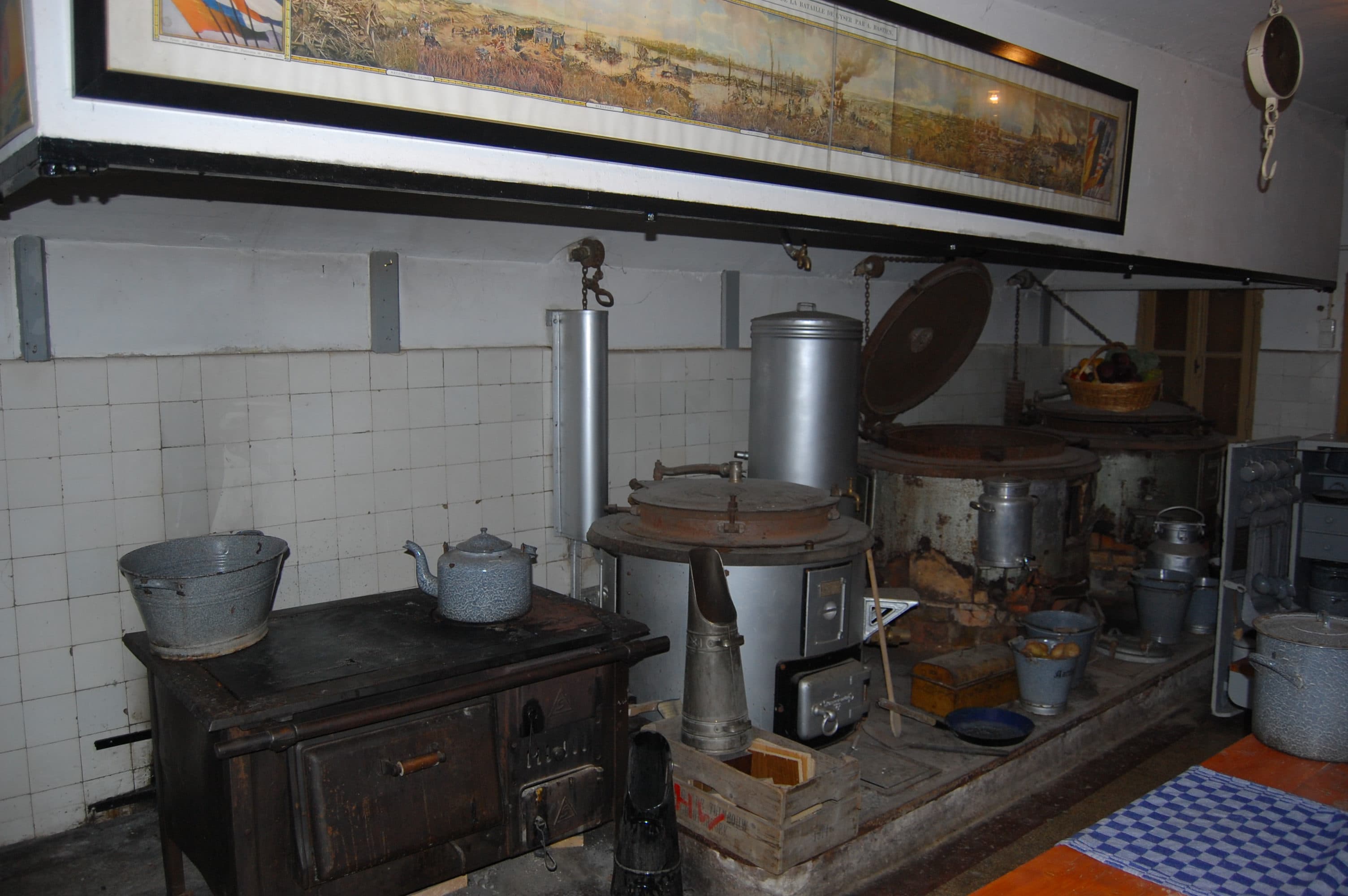
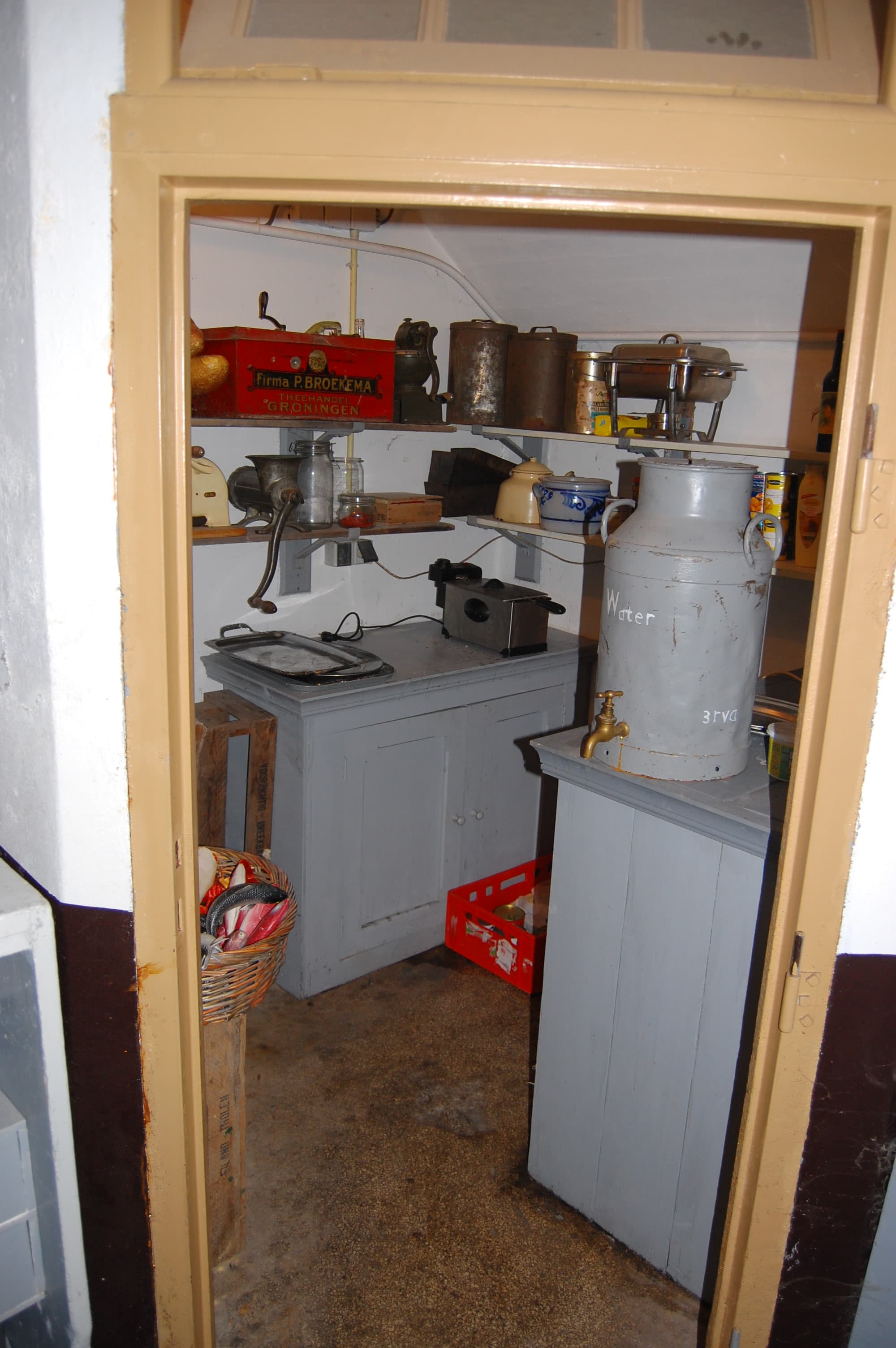
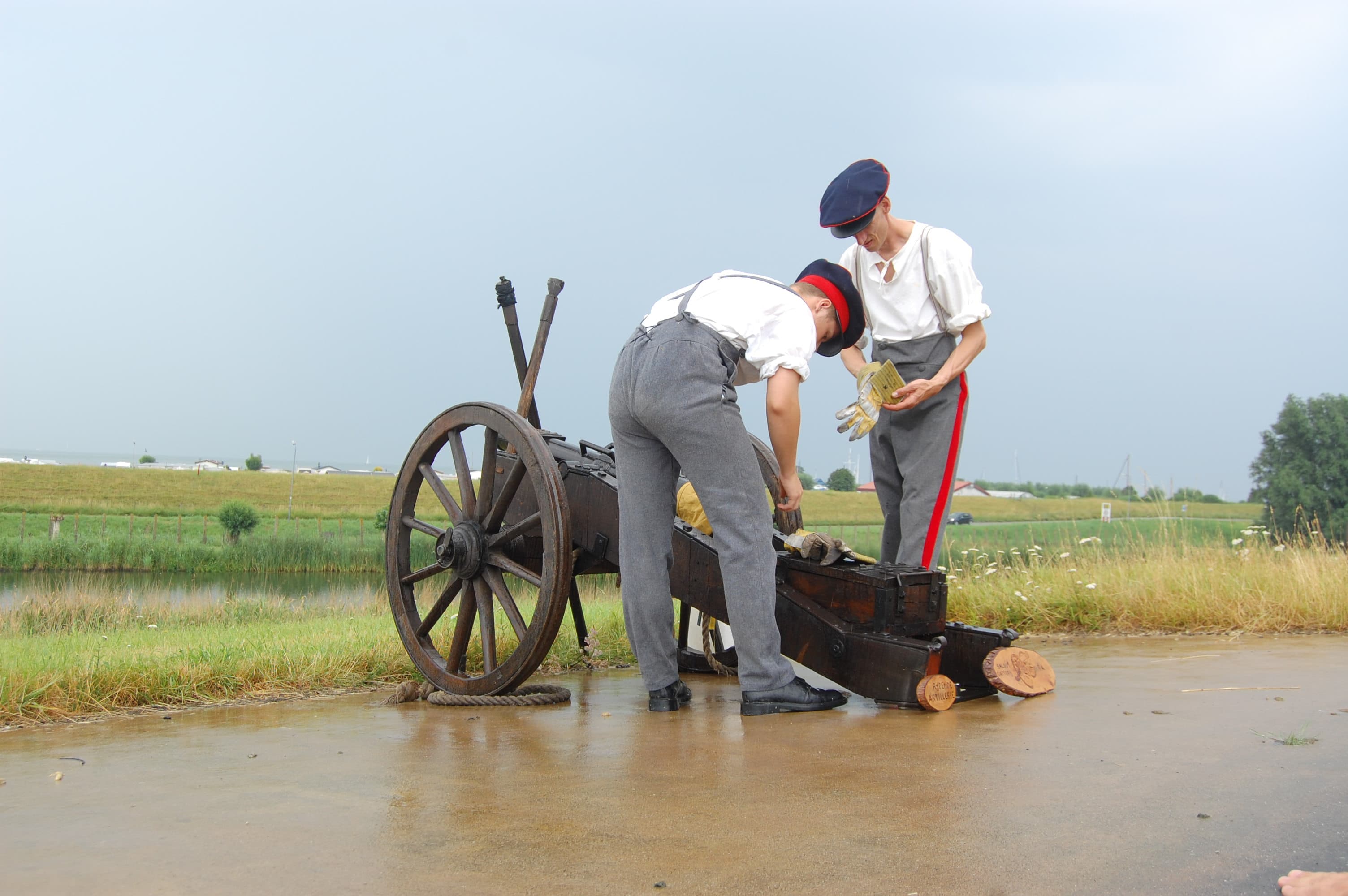
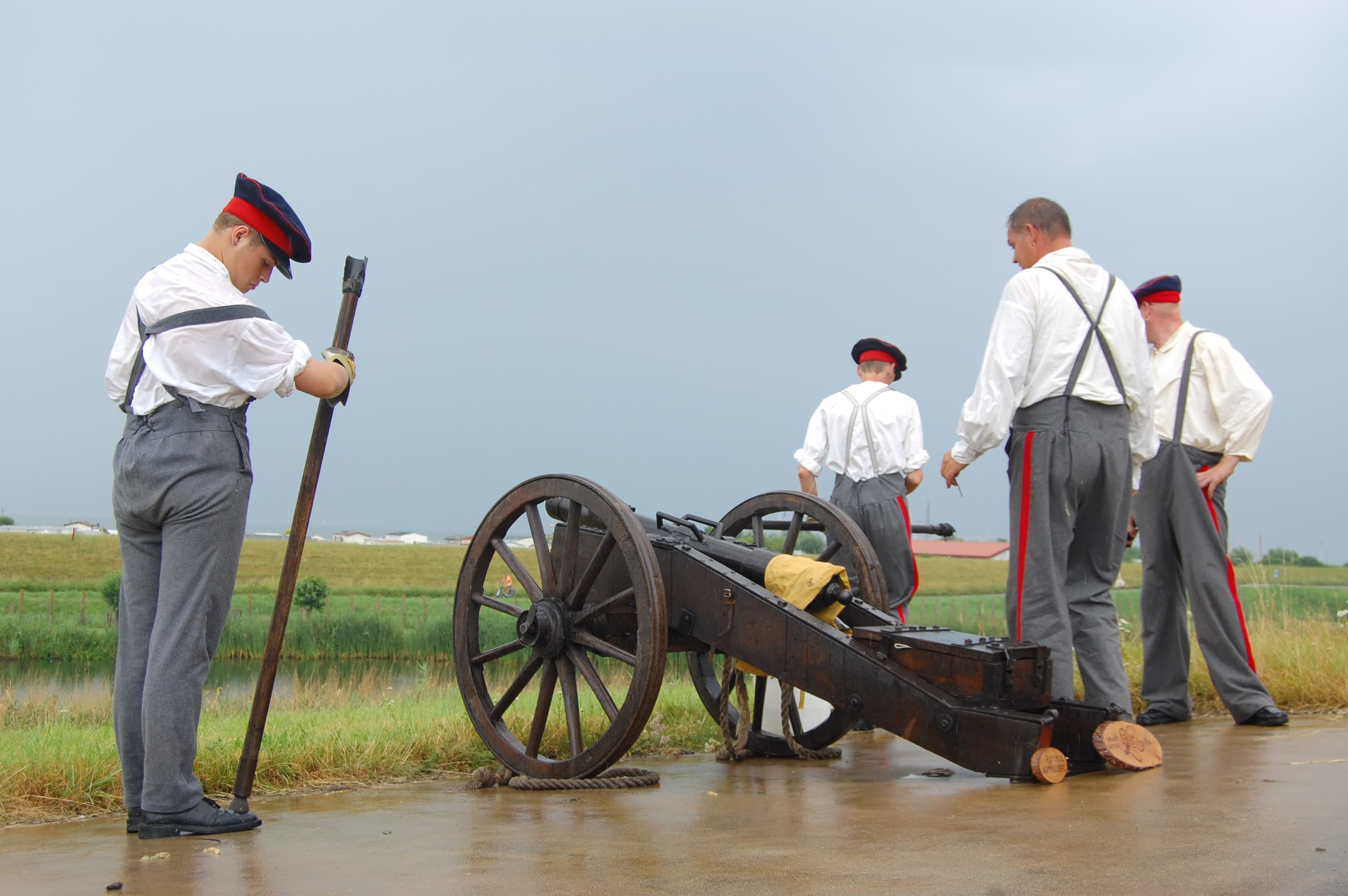
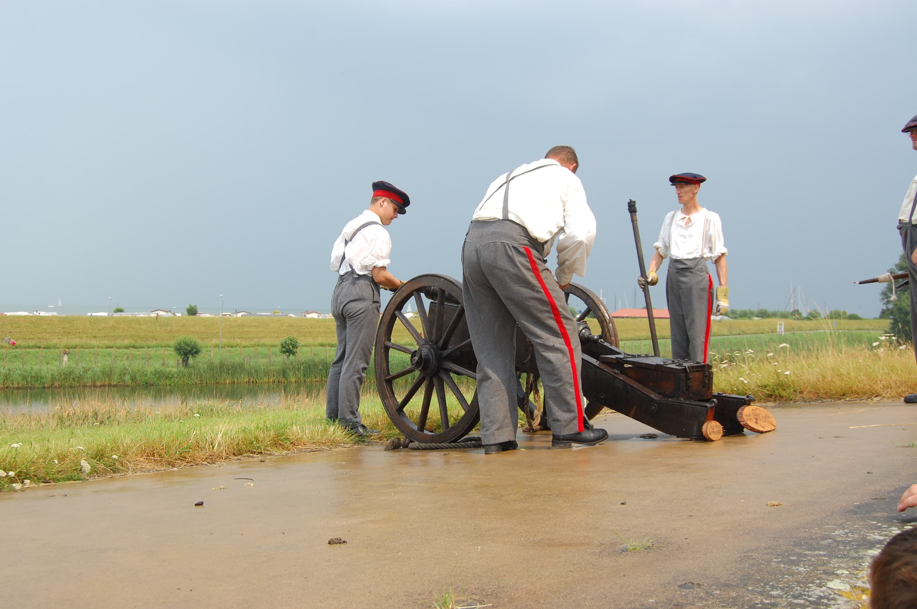
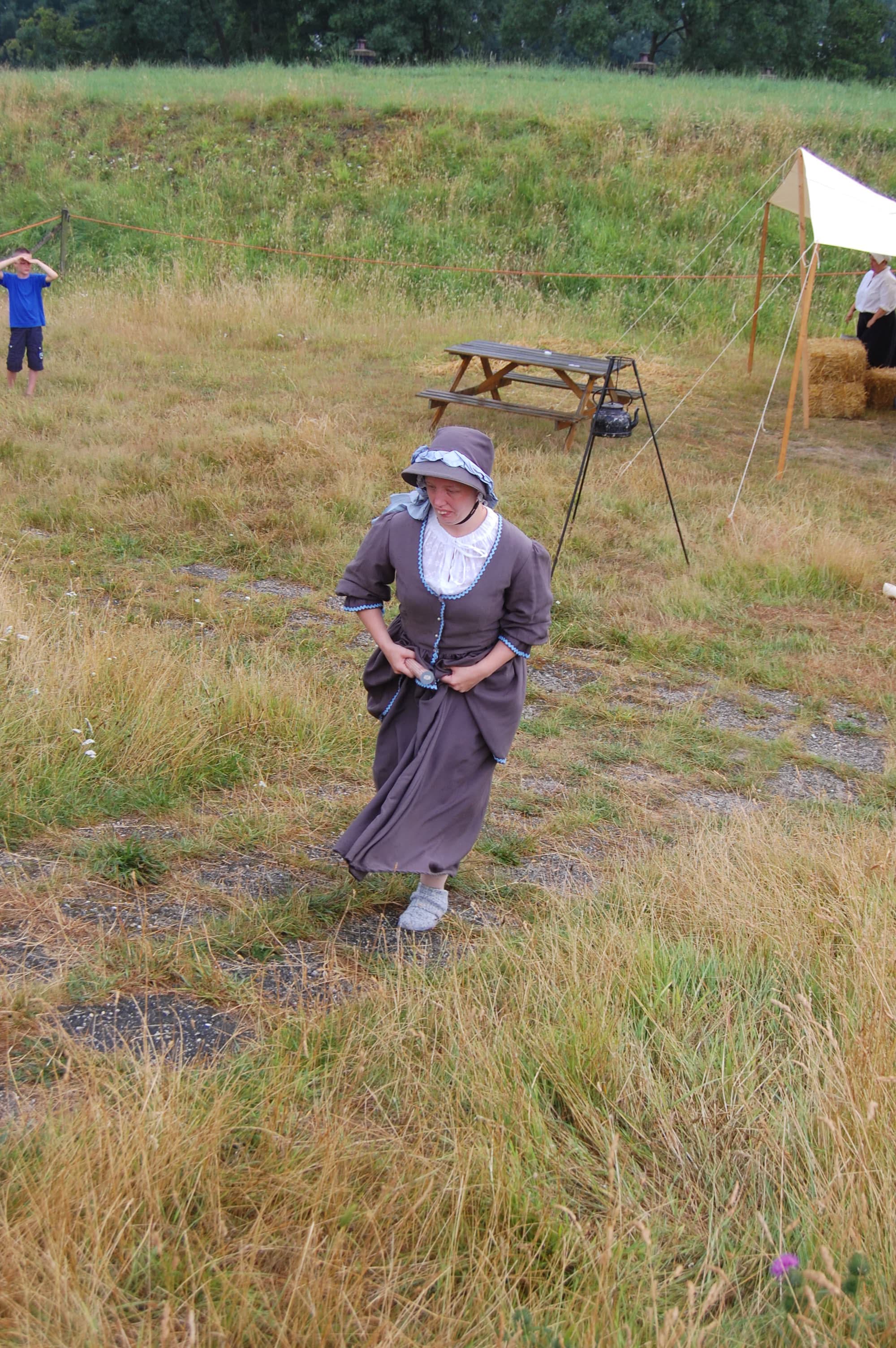
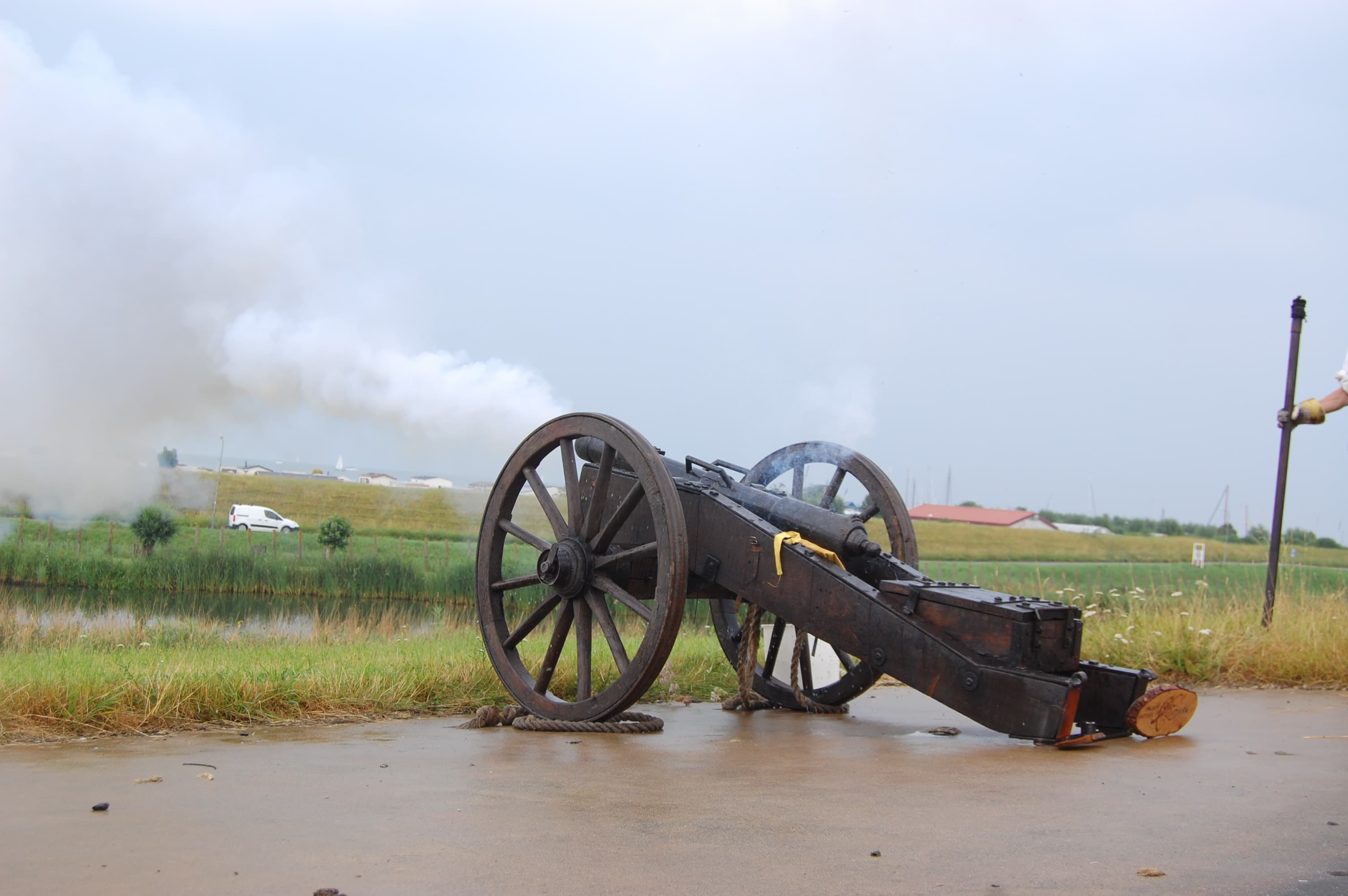
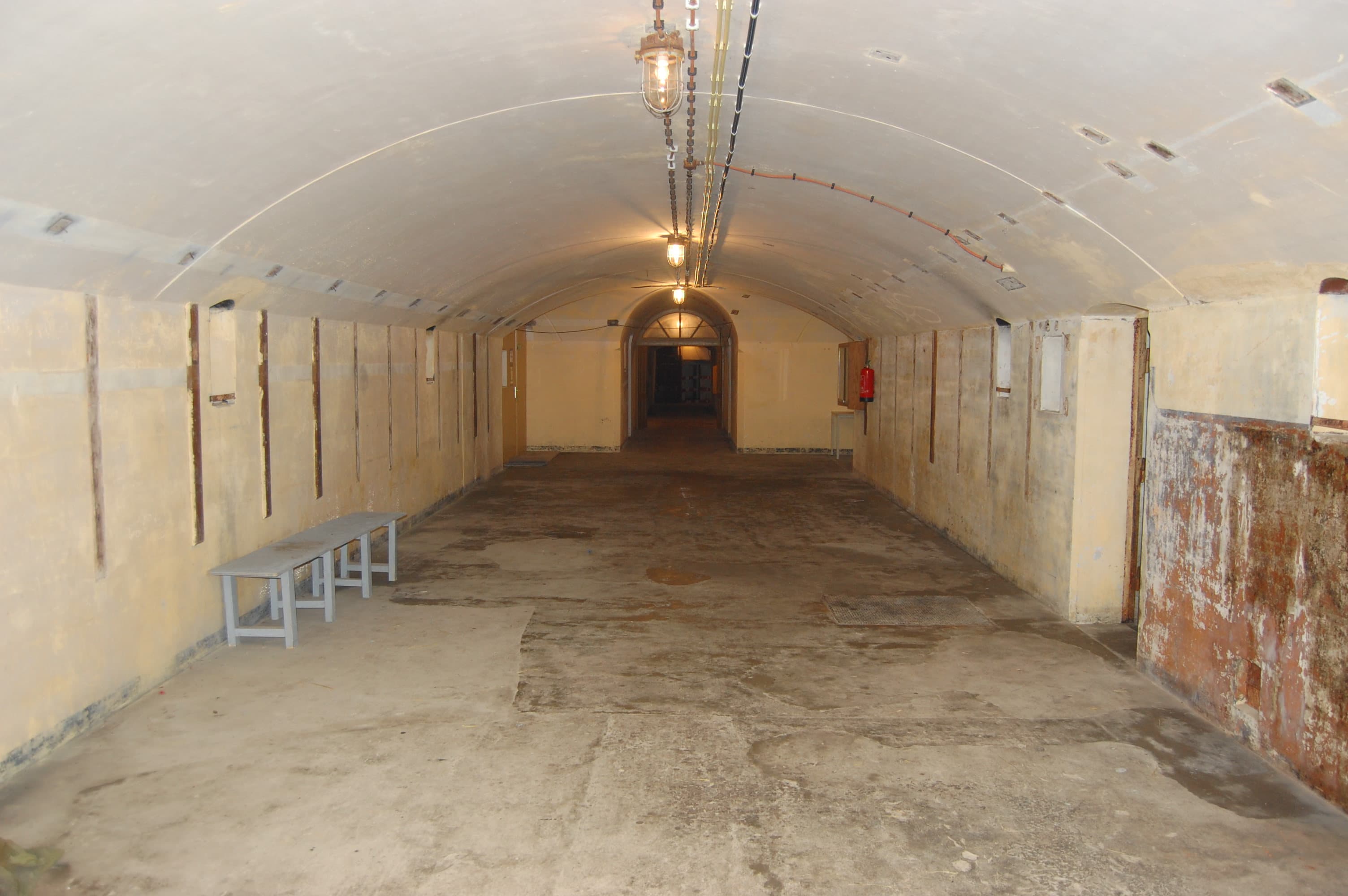
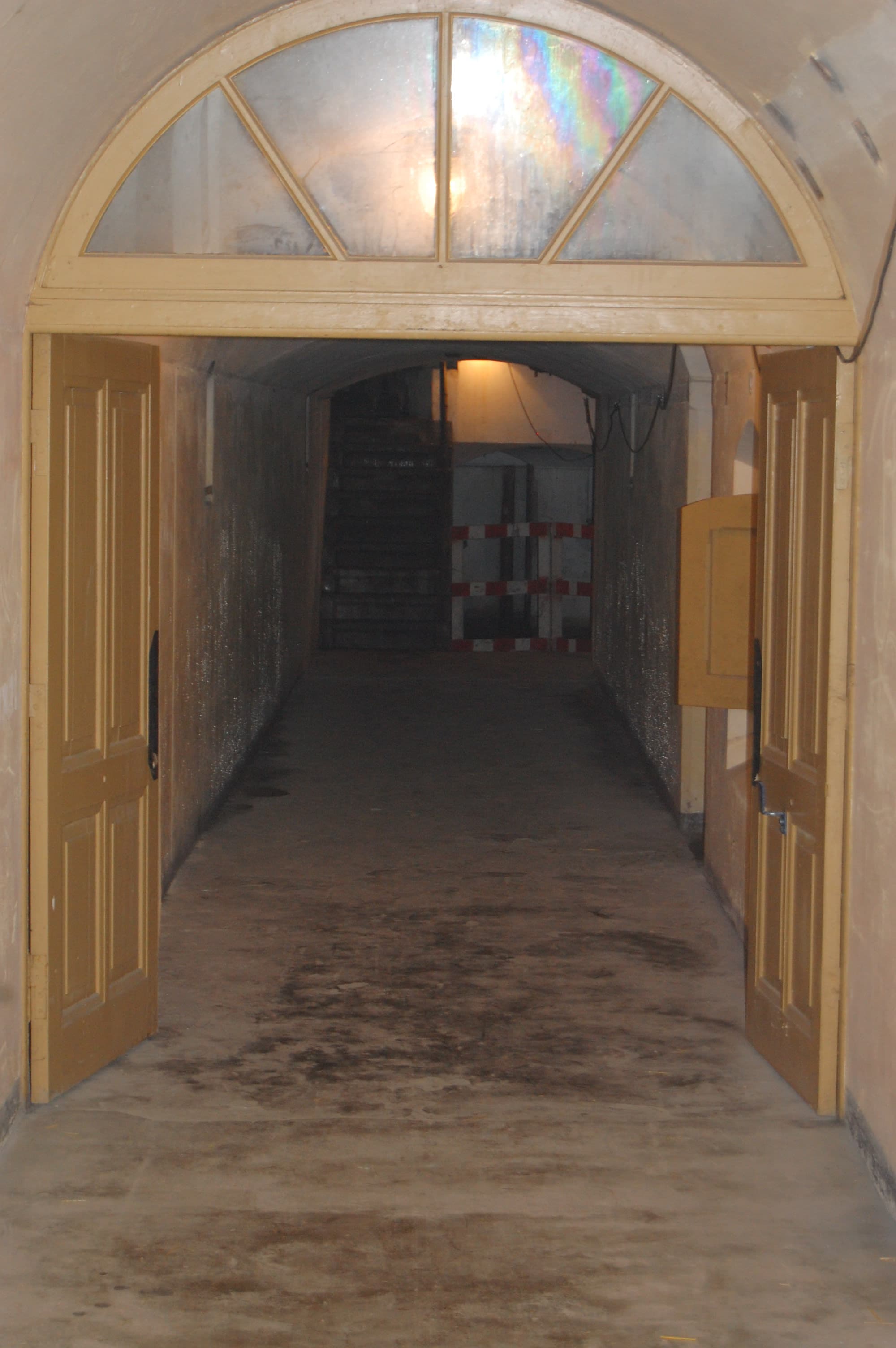
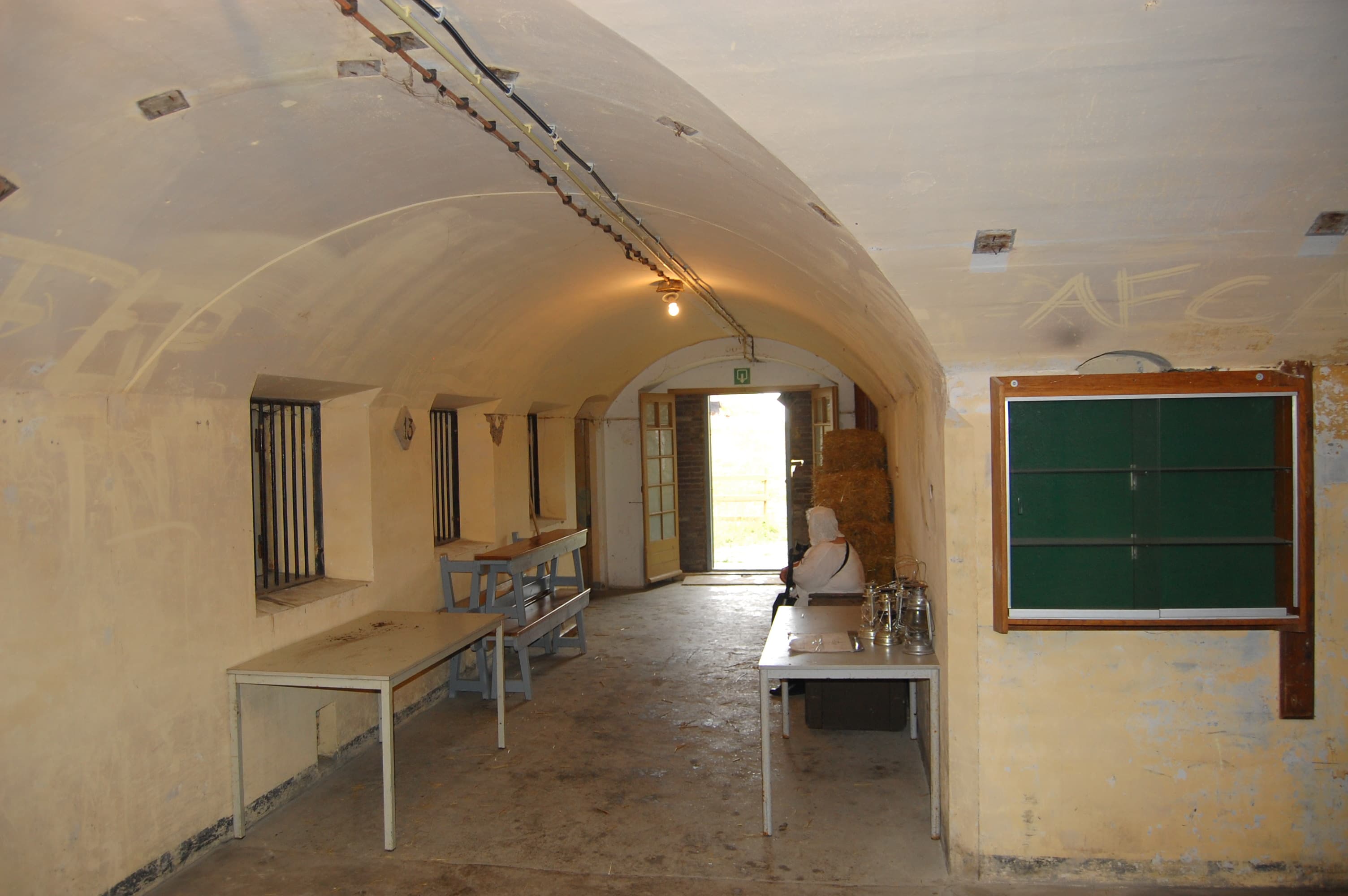
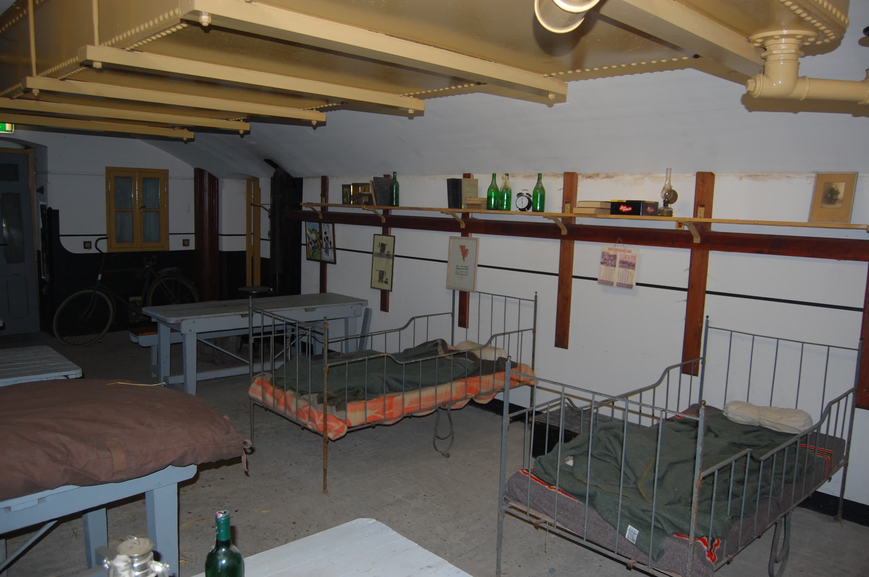
I visited this fort in 2010, so things might have changed in the meantime. Also a demonstration was given by re-enactors how guns were fired (front loader, Napoleonic era, on a field carriage). This type of gun was never used in the forts of the Stelling van Amsterdam AFAIK.