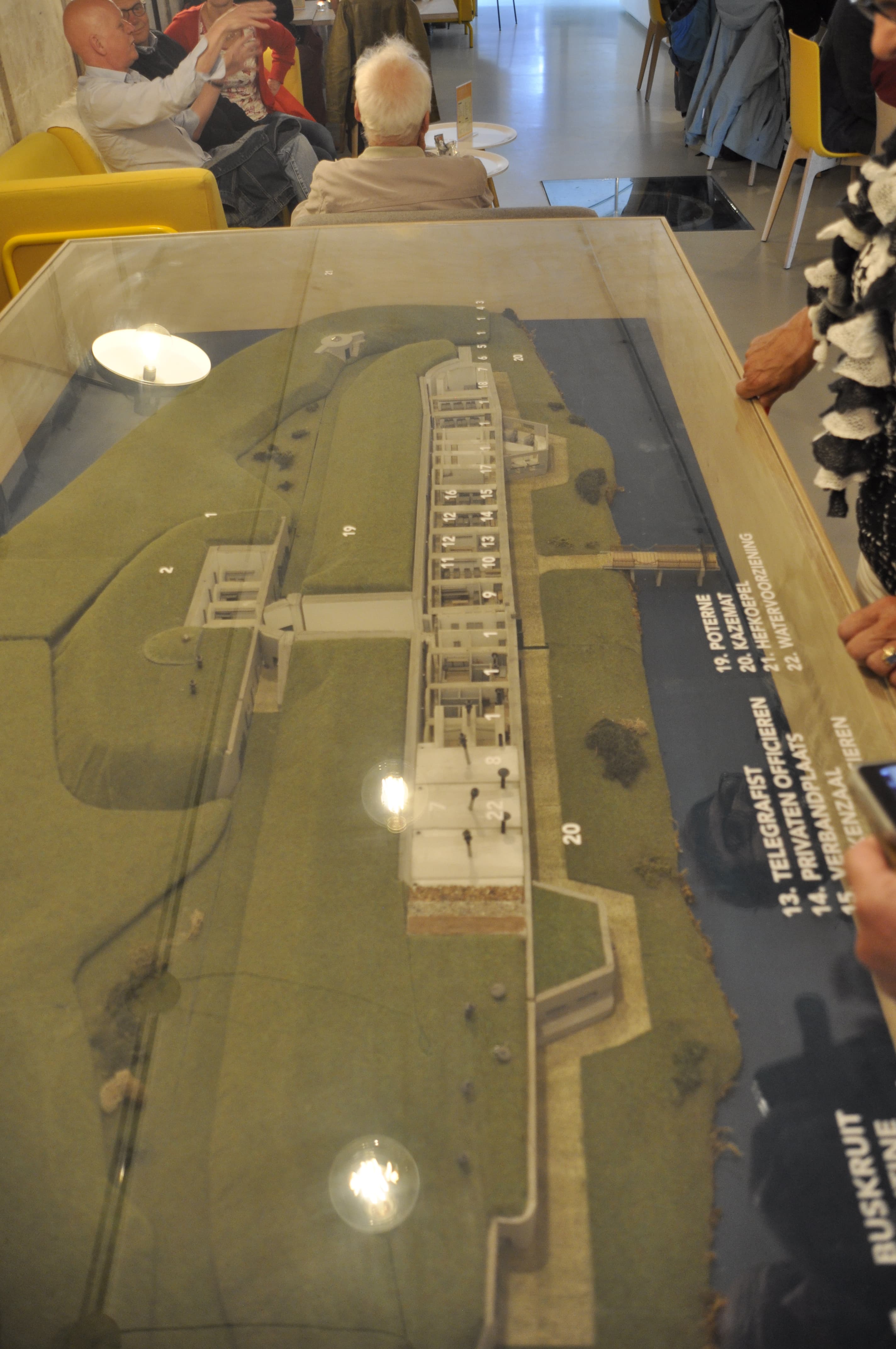
Around the capital of Amsterdam, a ring of 46 fortifications, artillery postions, dikes, sluices was constructed in the period of 1880 to 1920 with a total length of 135 kms.
The idea was that, in case of invasion, the capital, with it’s surroundings would function as a national reduit. With the technical situation of the time in mind, the distance between the forts and the capital was nowhere less than 15 km, making it impossible for artillery shells to reach the capital. The space was also needed to provide the expected number of people inside the fortress with sufficient food, at least till an ally came to the rescue.
The Stelling van Amsterdam was a supposed to be a Water line using inundation, a proven Dutch doctrine, which helped them several times. The last time this was used on a large scale, was against the French in 1672. The ideal depth was 50 cm, to deep to walk, to shallow to sail. With the crossing of the country by canals, big and small, those would be invisible too causing drownings and vehicles getting stuck.
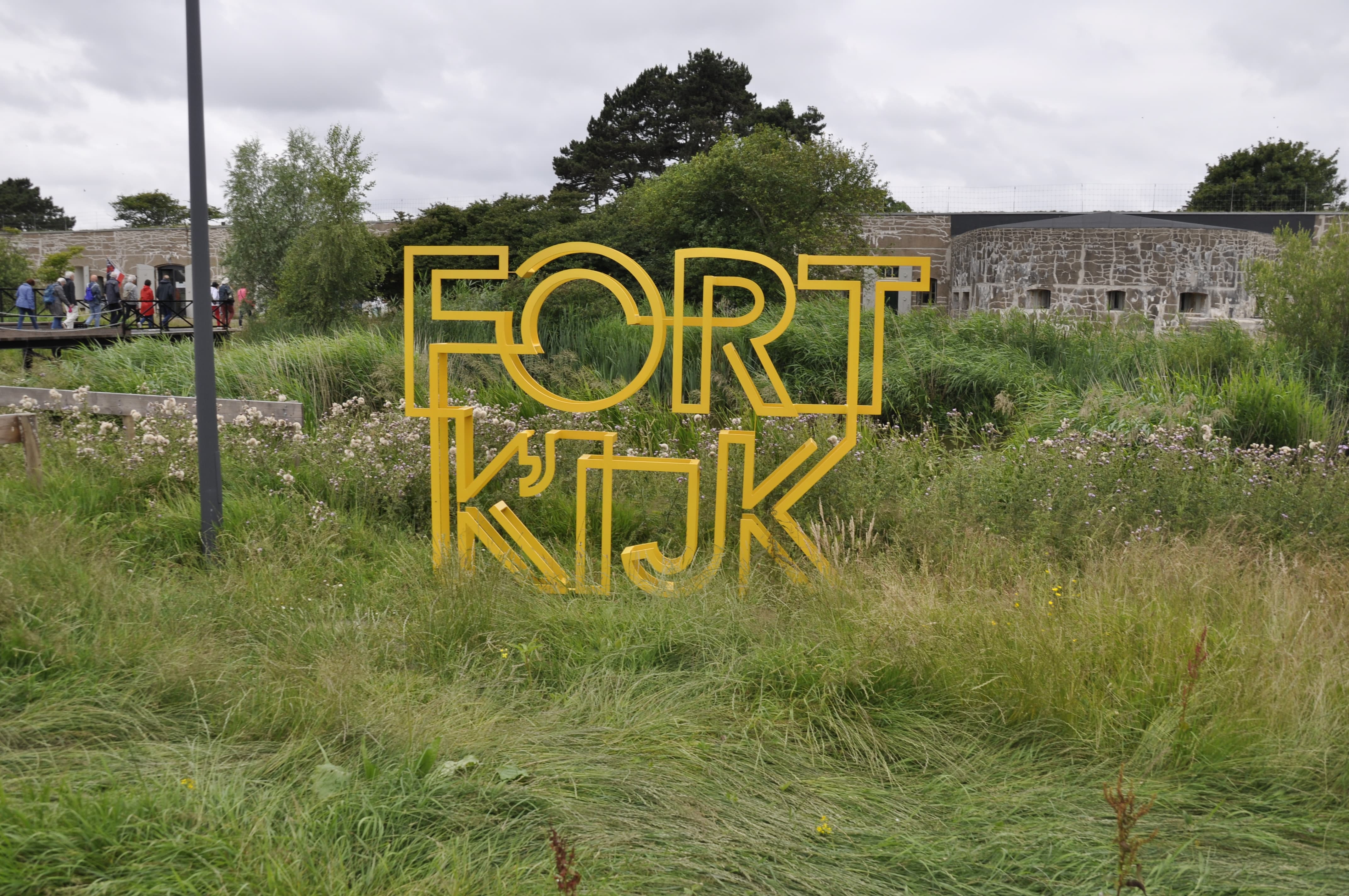
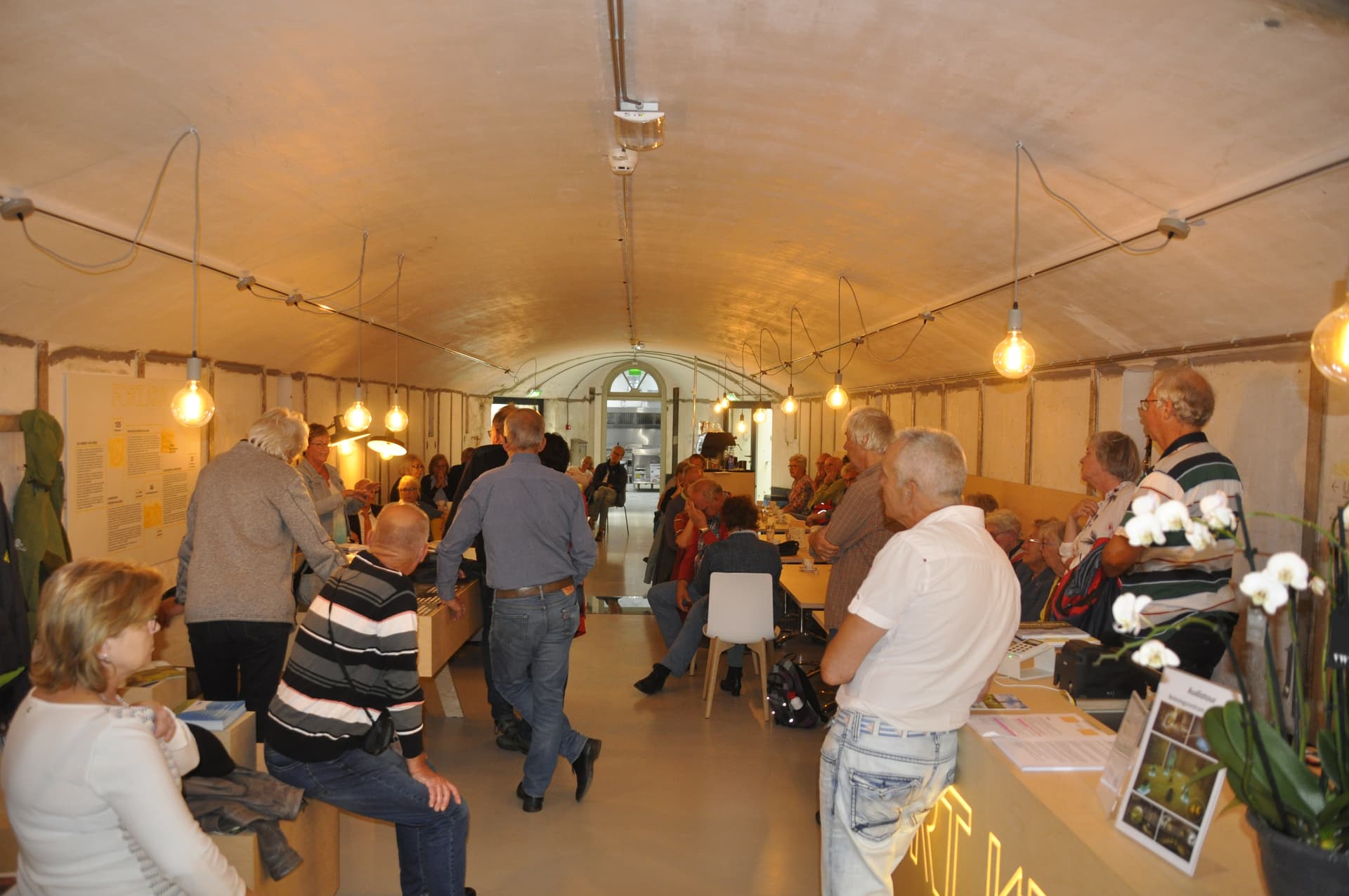
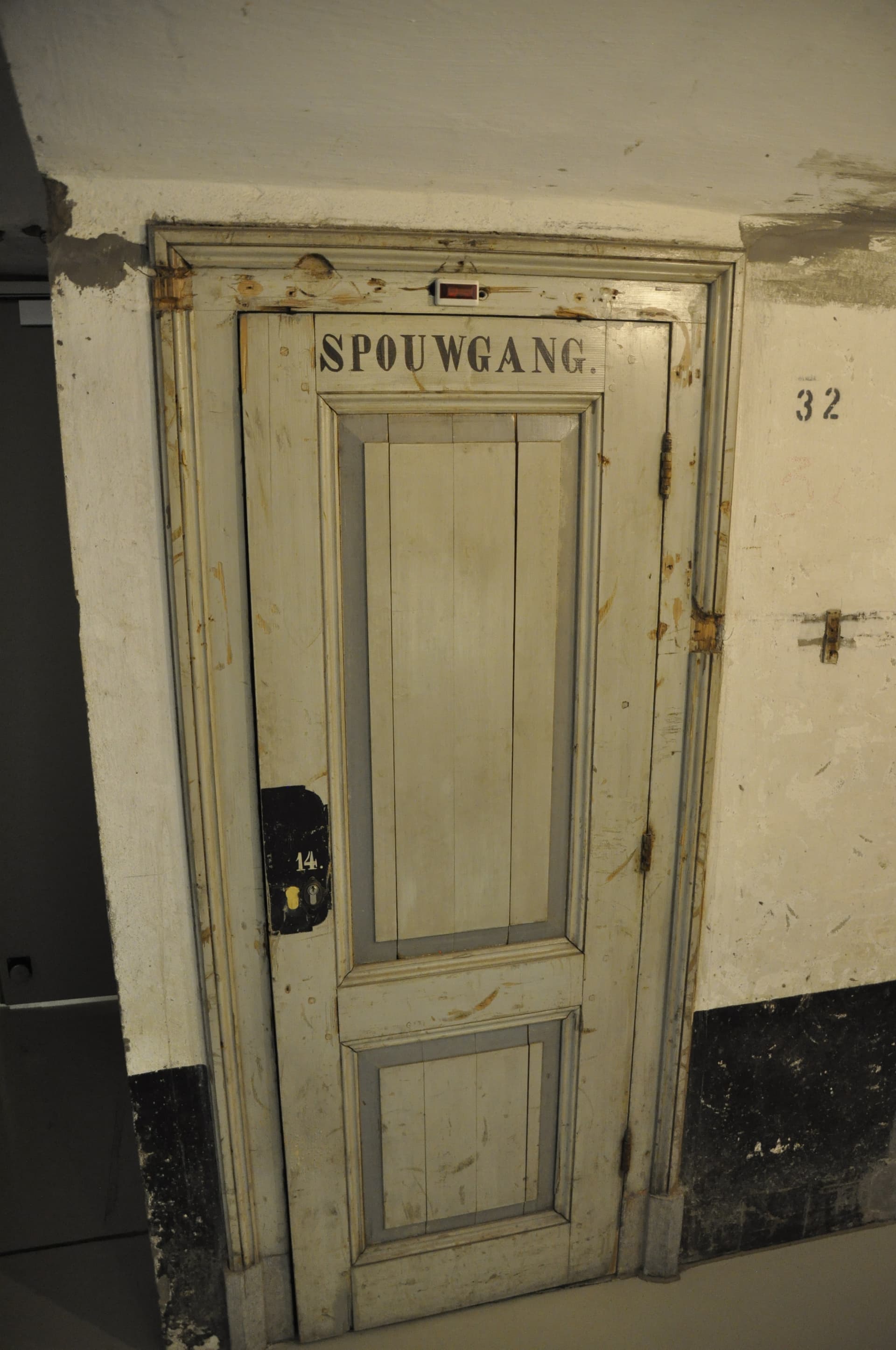
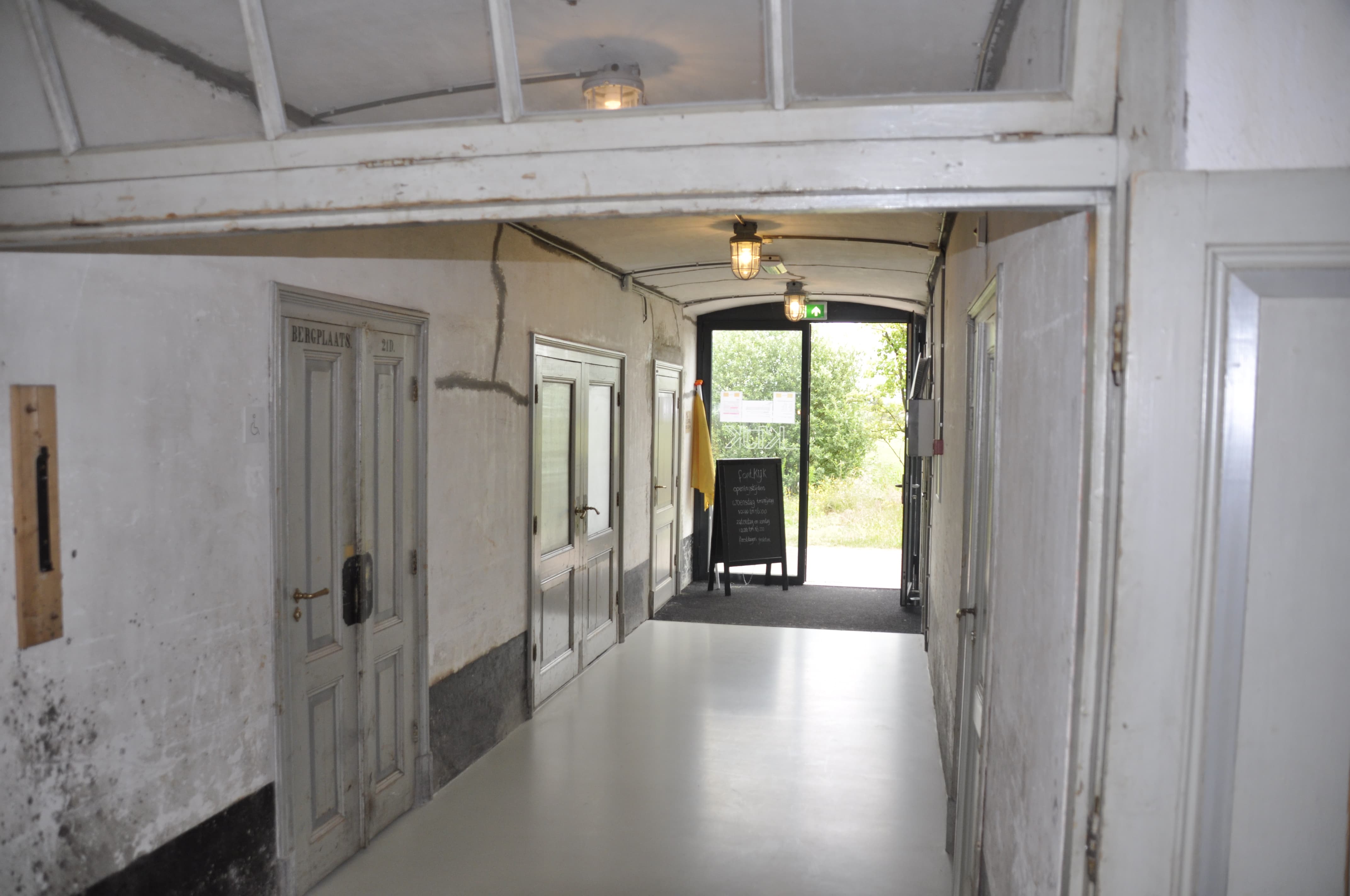
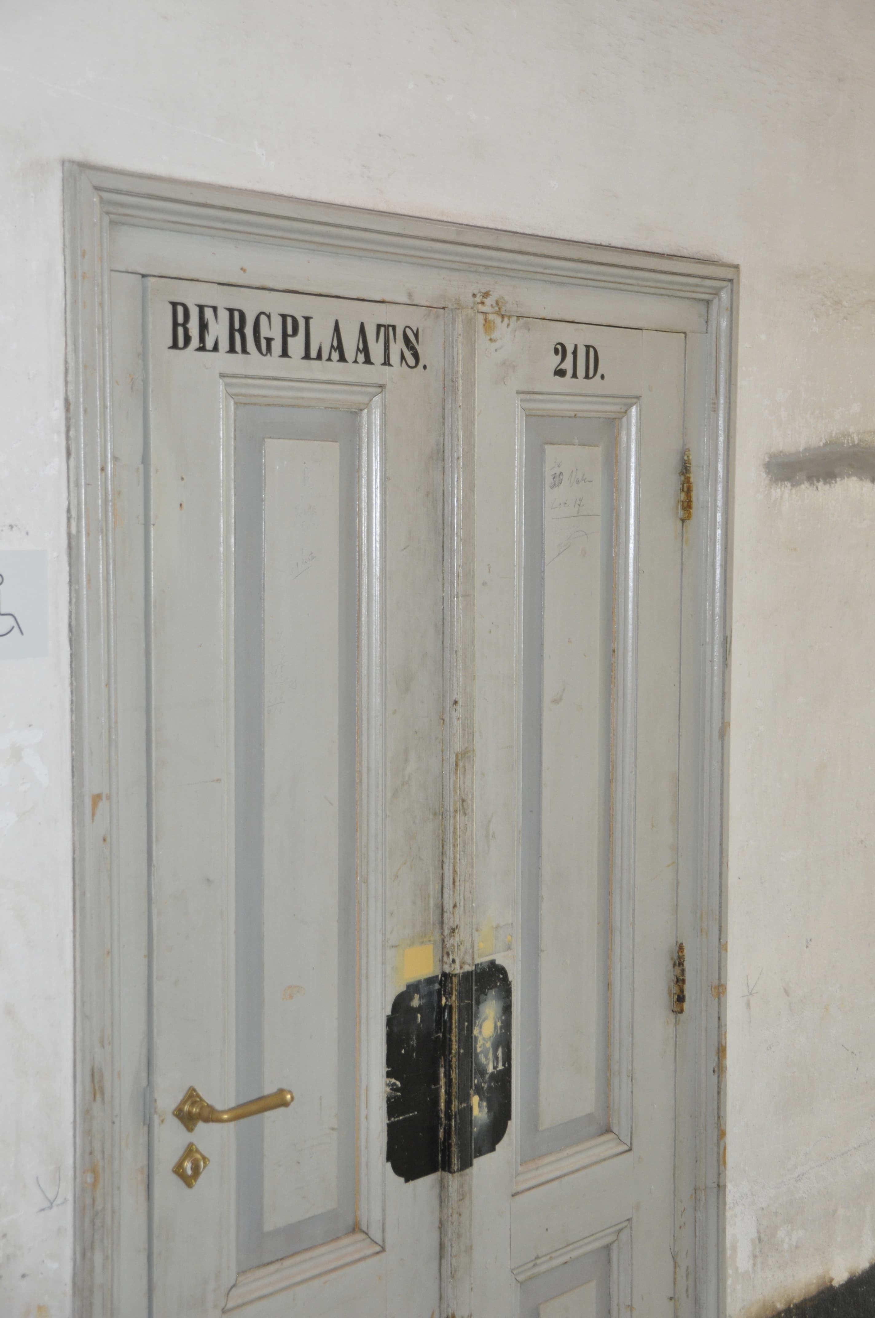
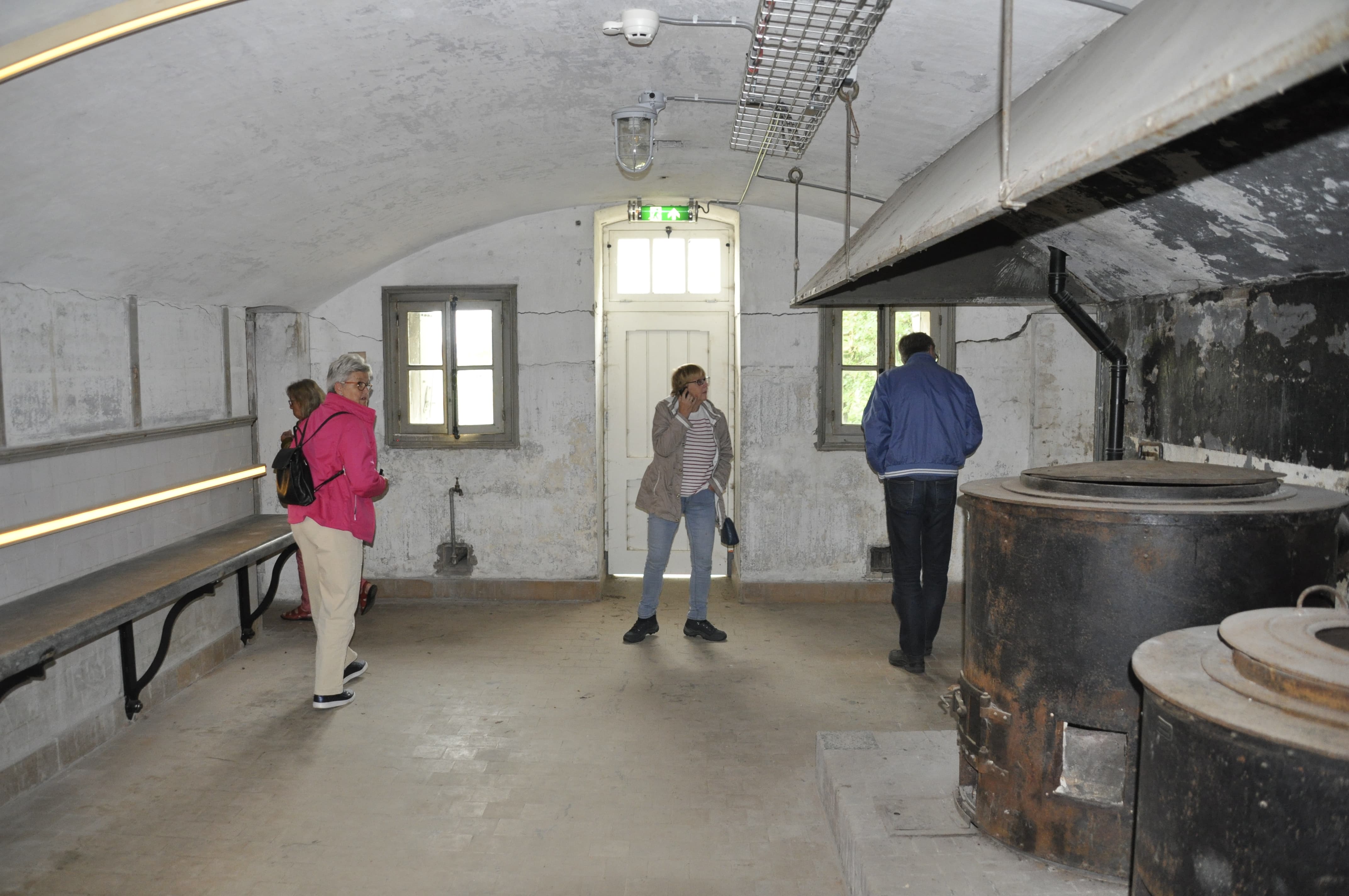
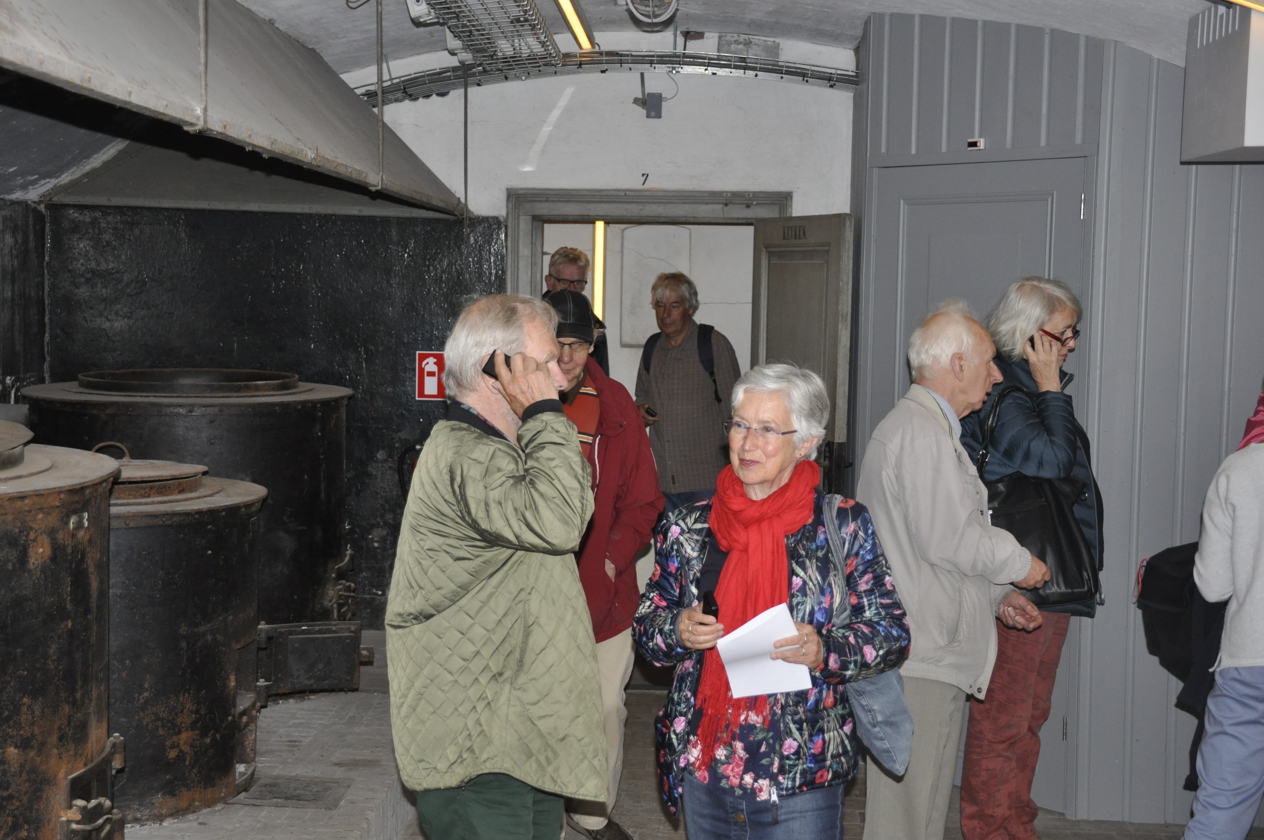
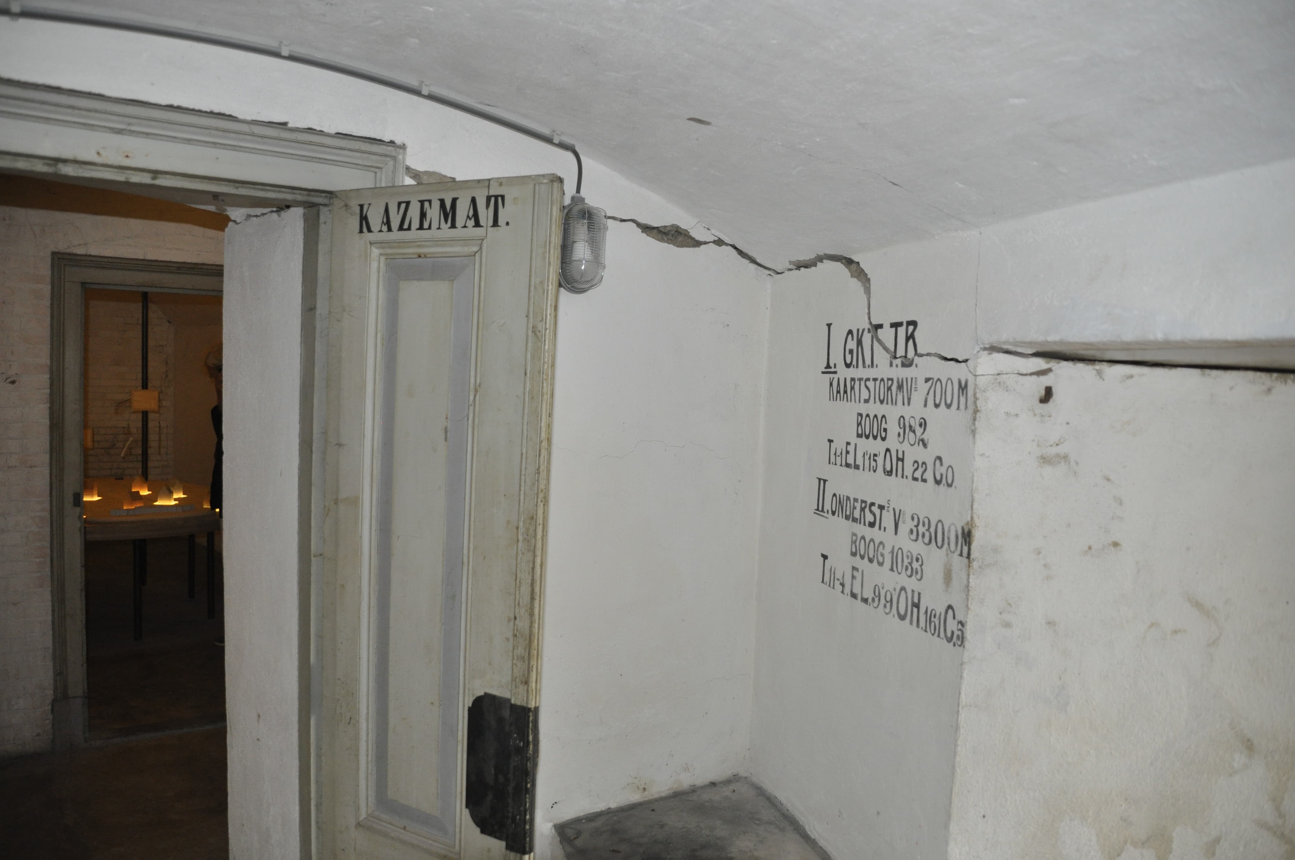
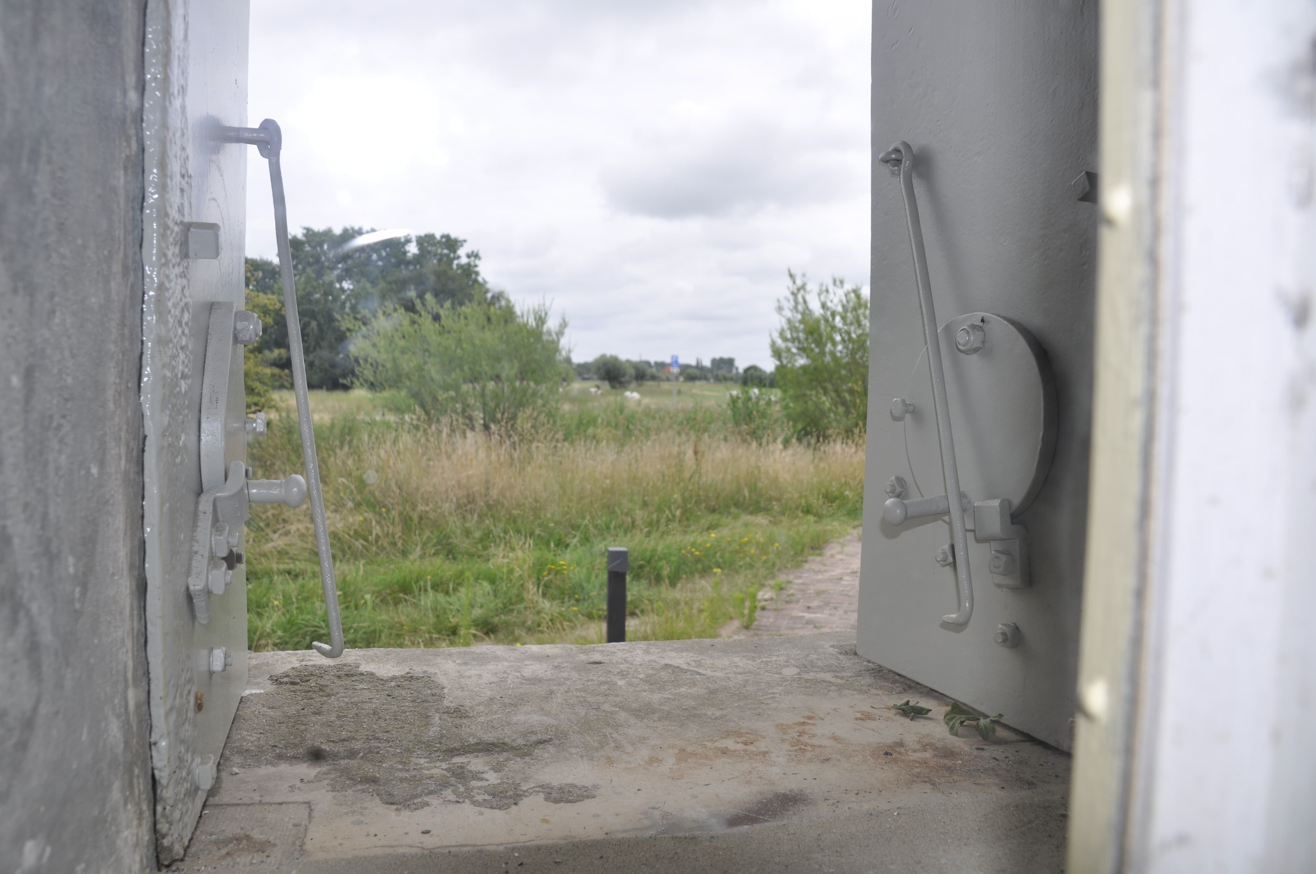
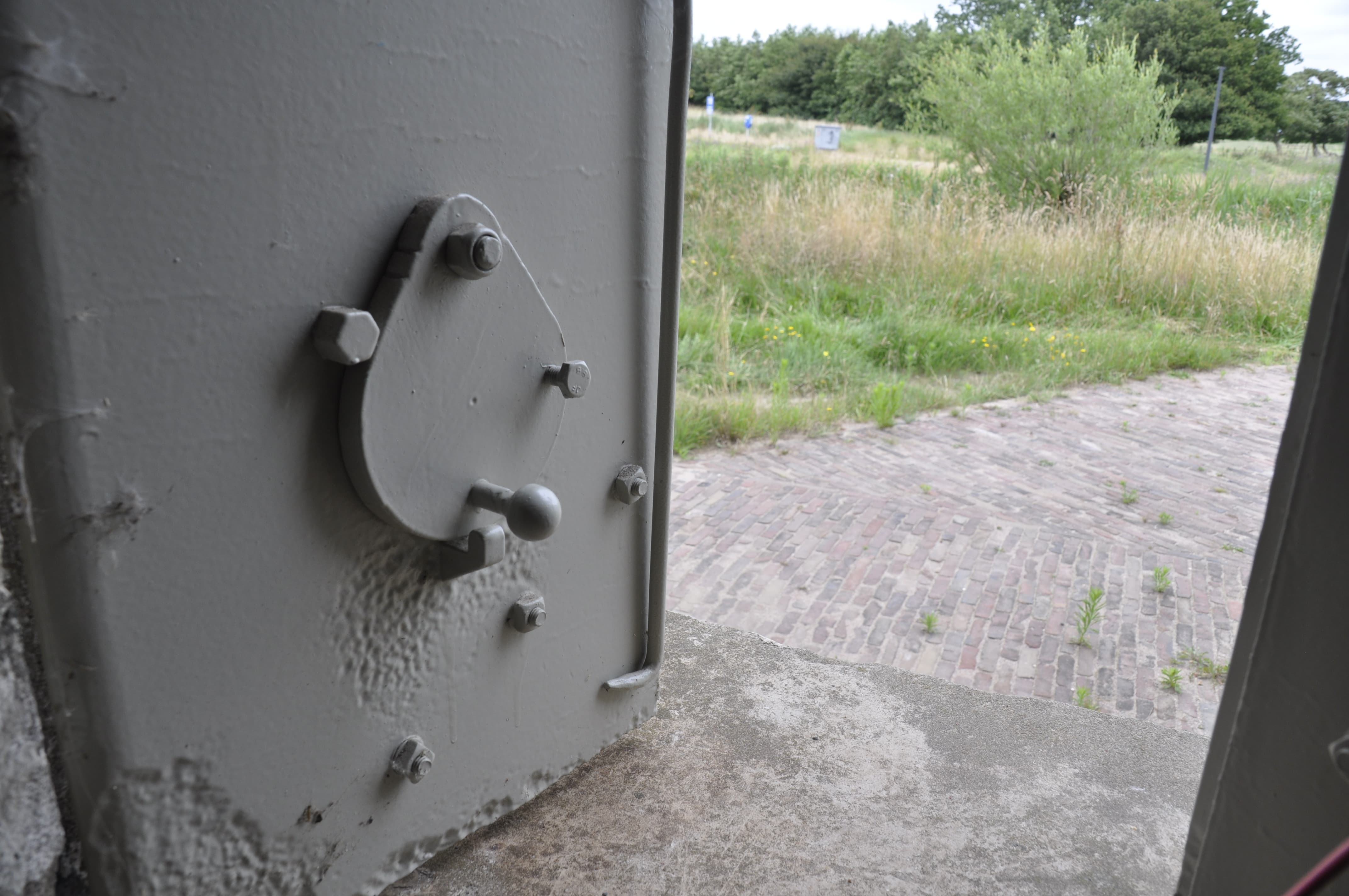
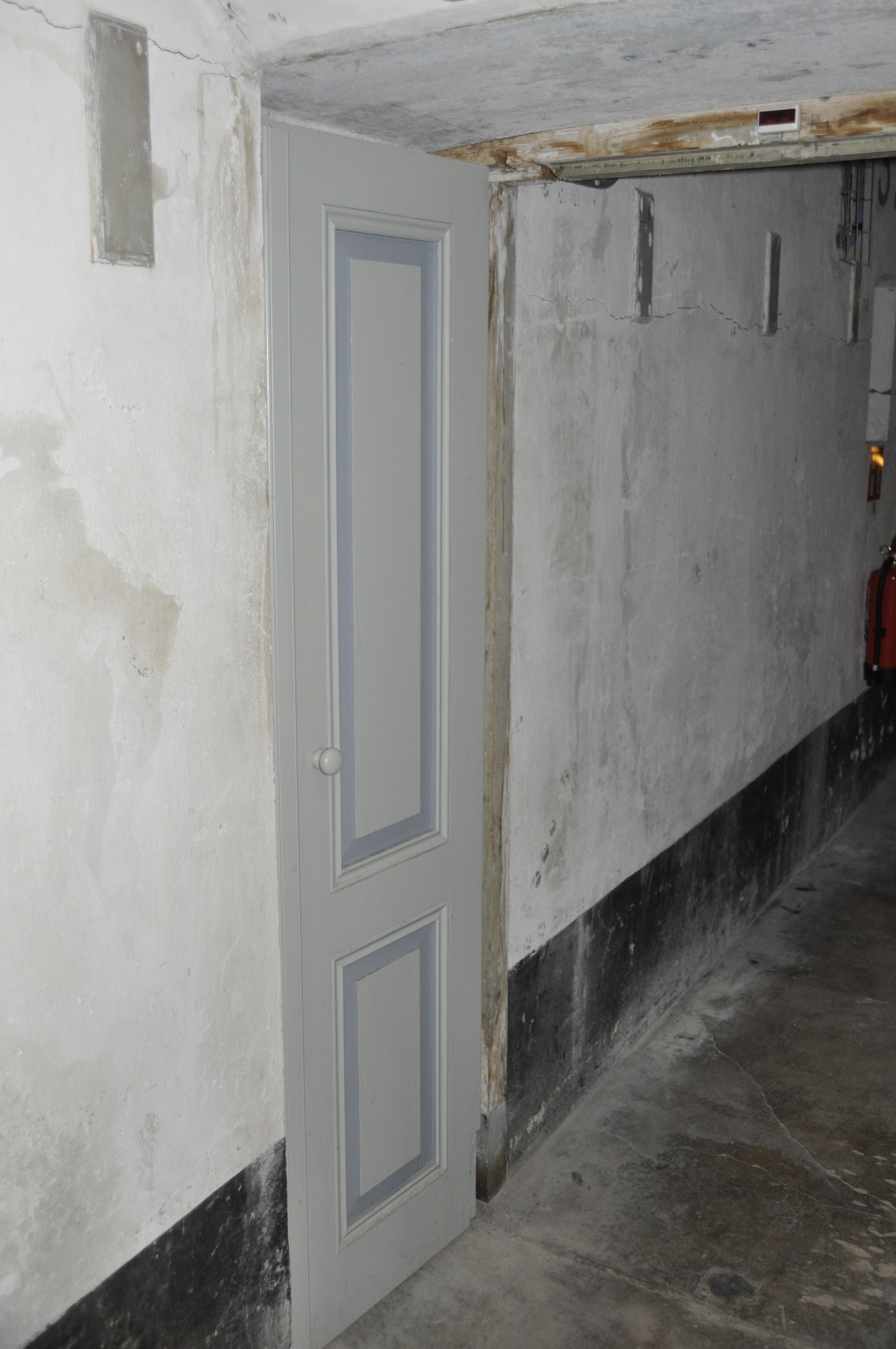
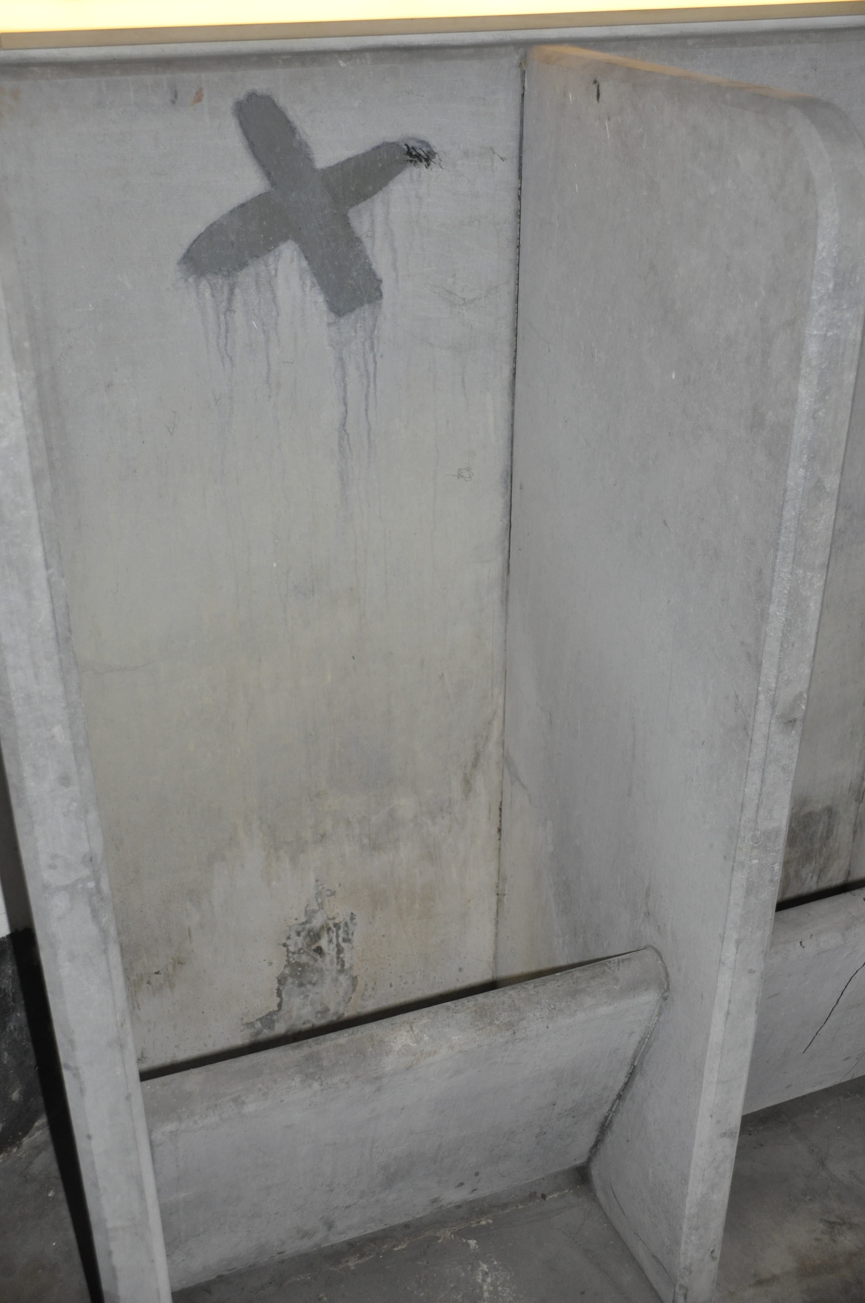
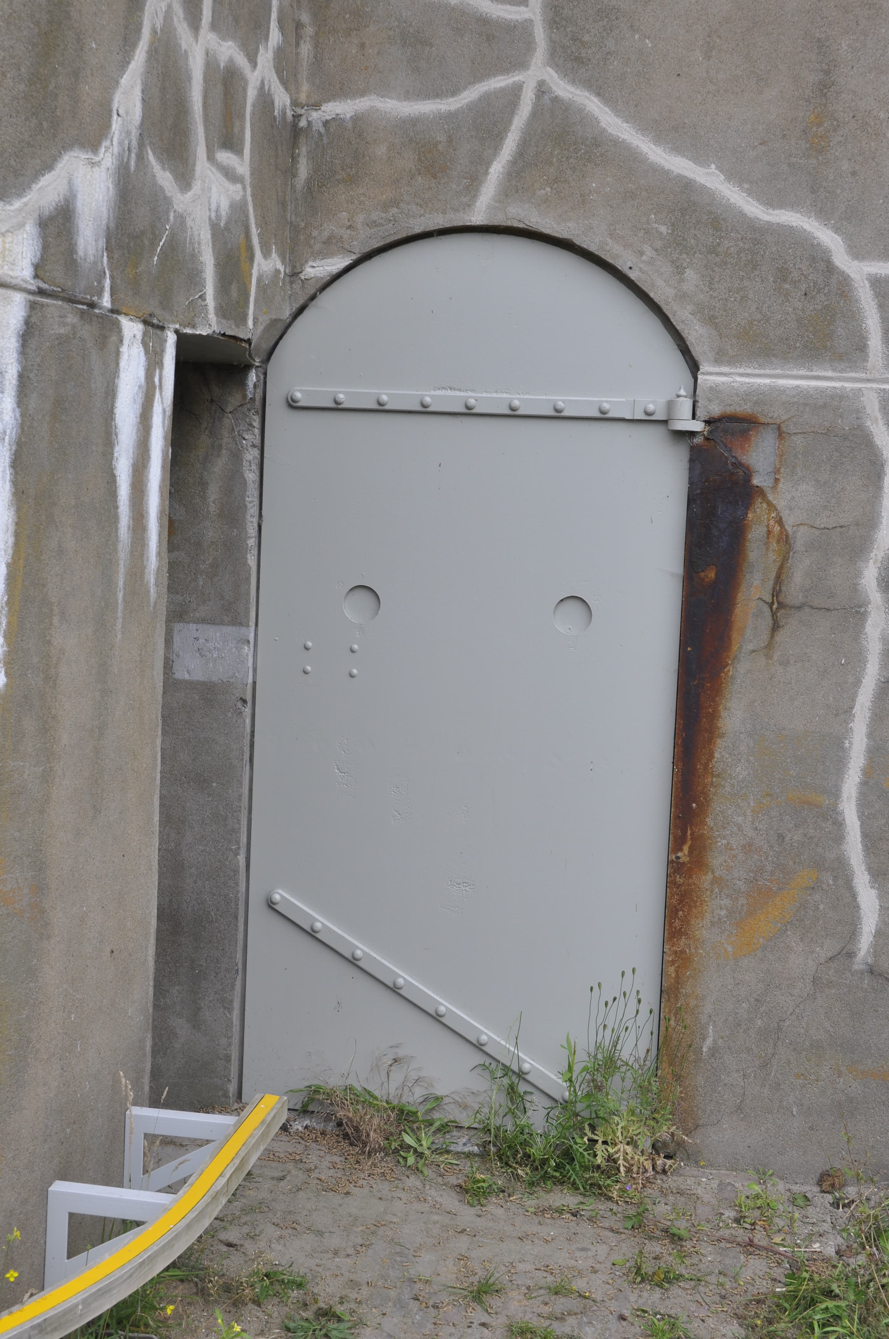
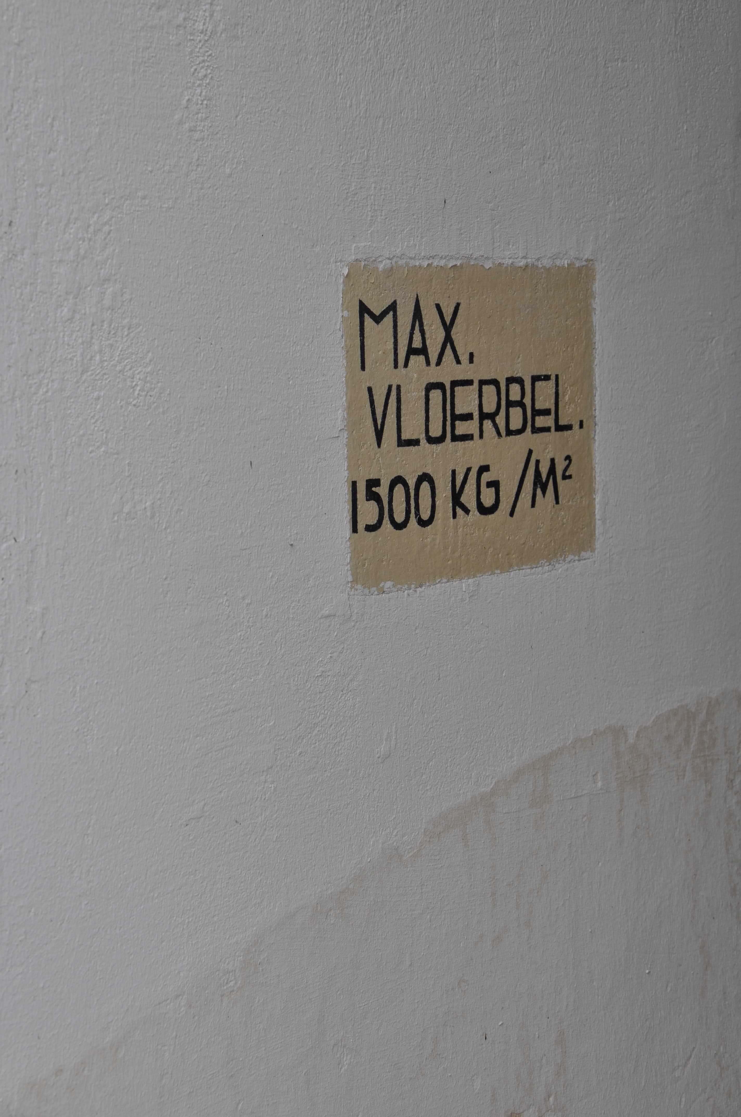
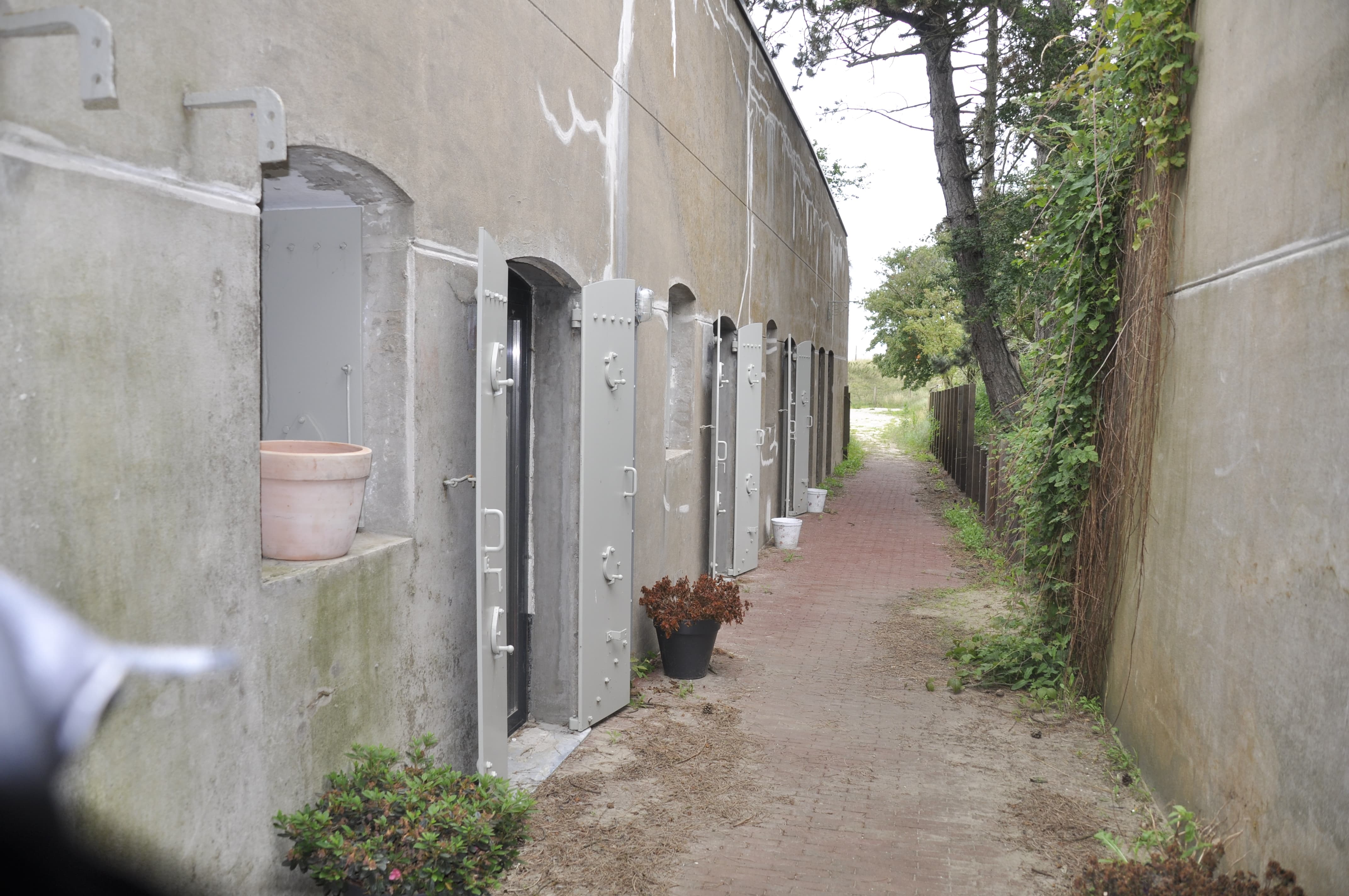
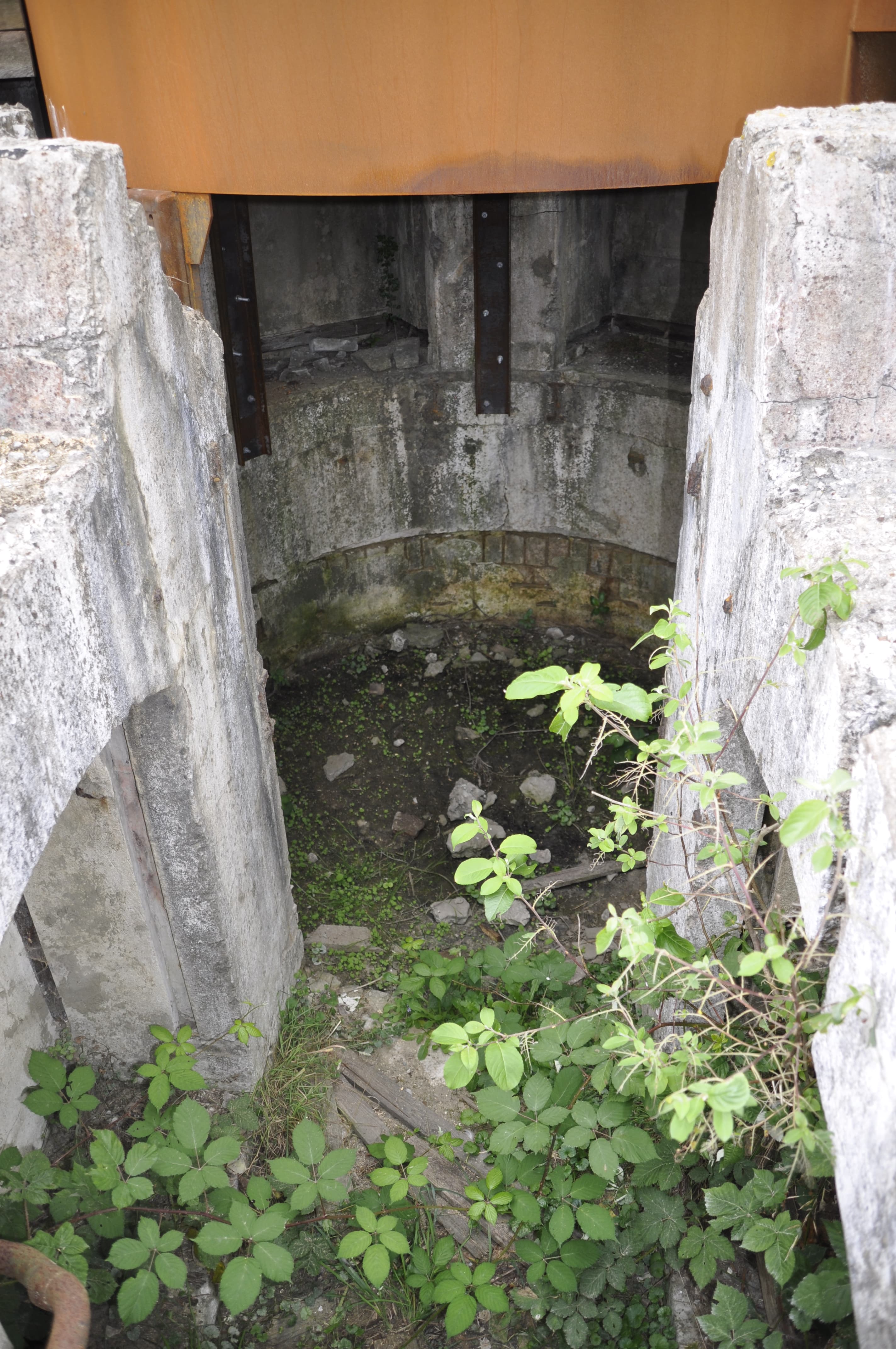
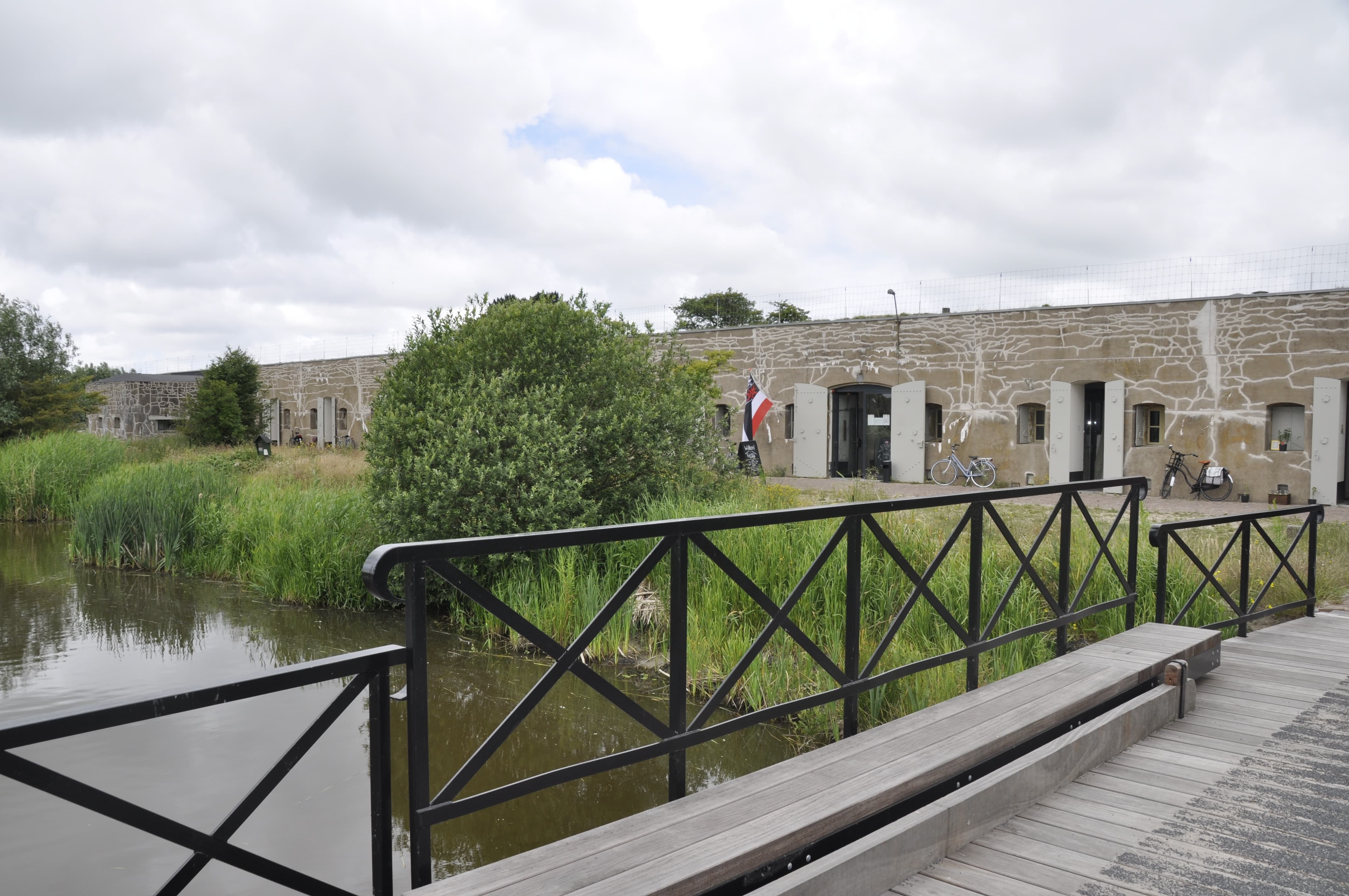
One of the fortresses accessible to public is the Fort bij Krommeniedijk. At least, part of it is. The other part is a residential community for young adults with autism.
Now, for the pictures:


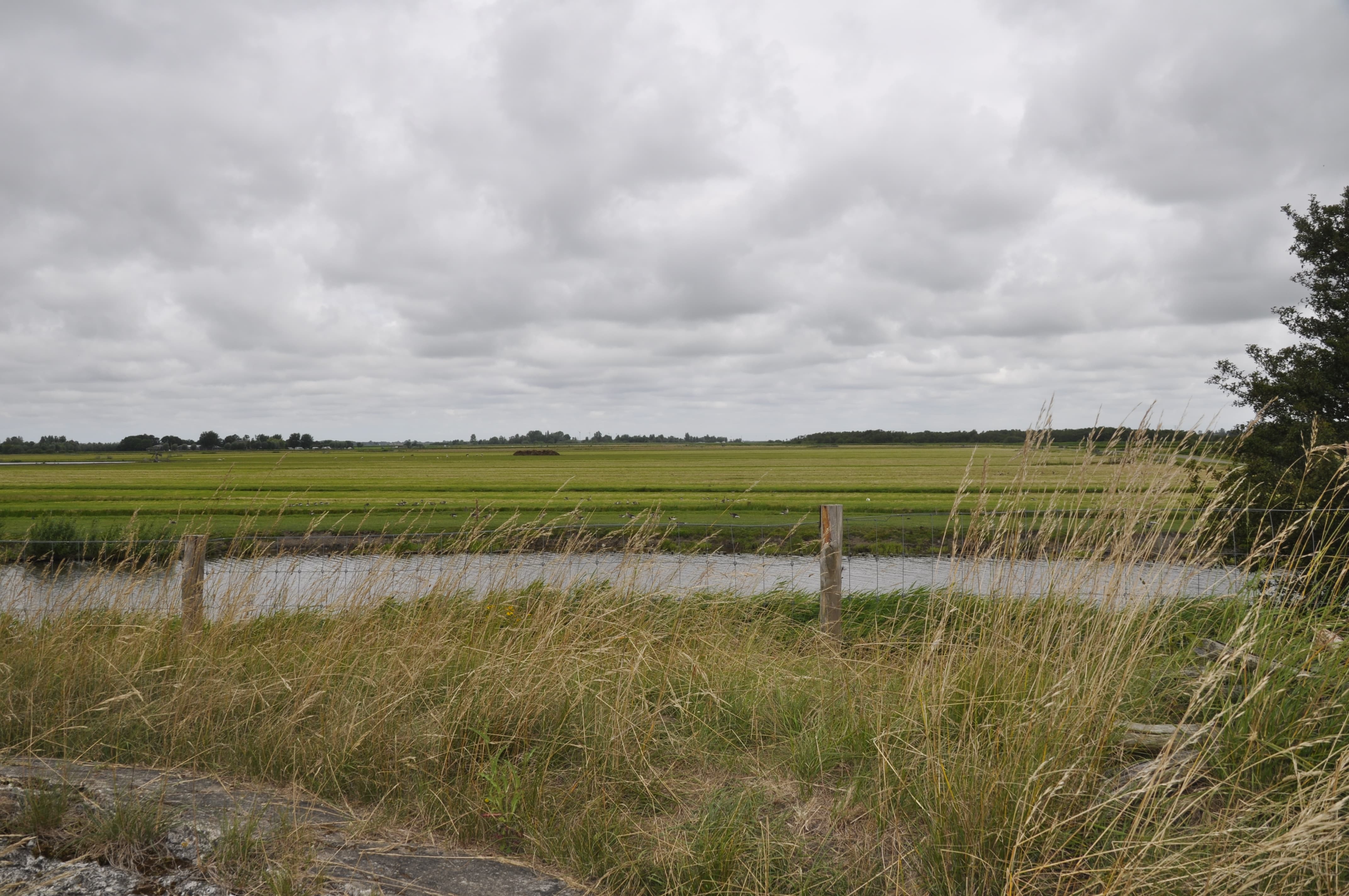
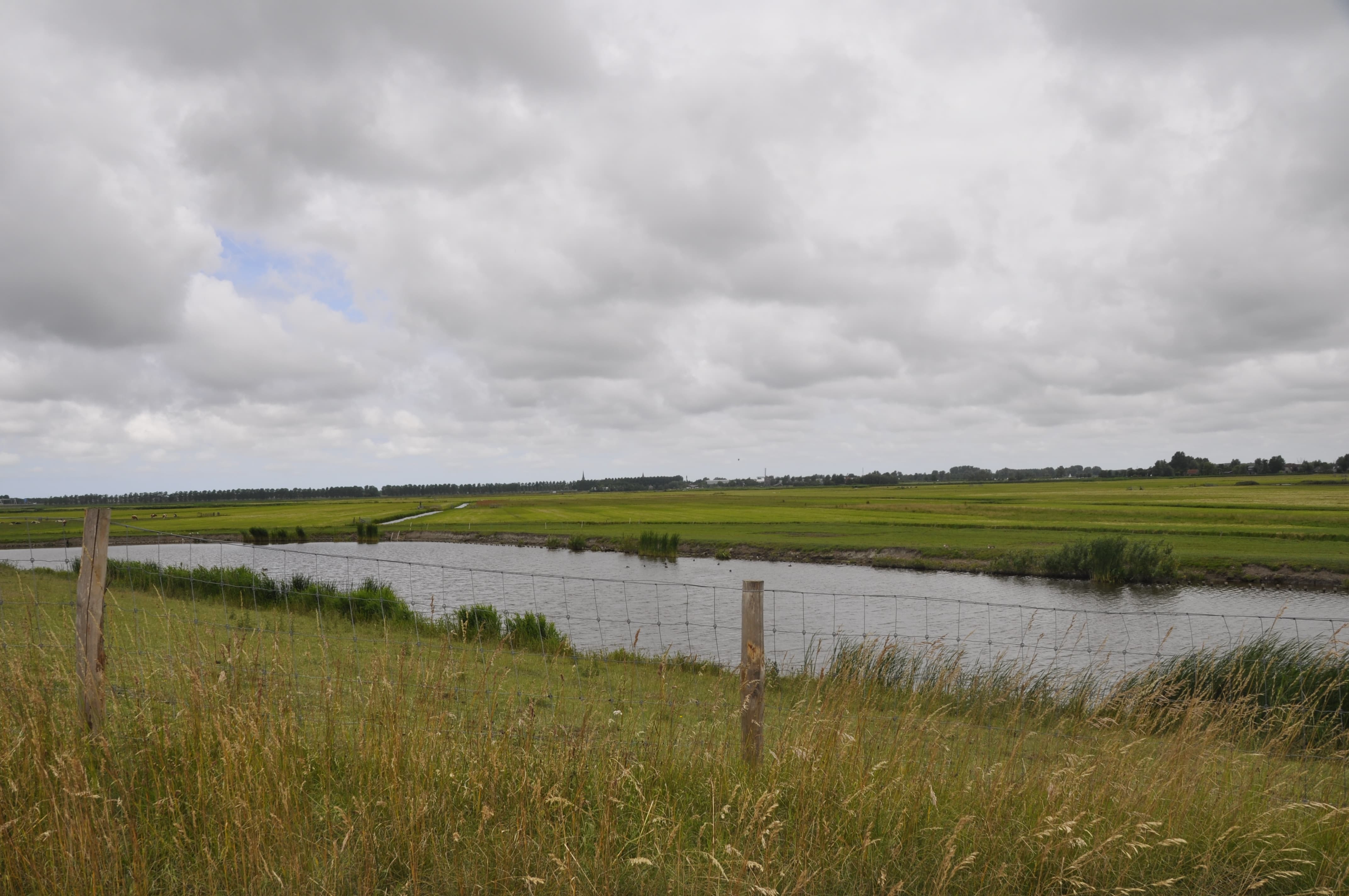
Erwin, great pics again and nice to see more well preserved fortifications… Quick question about the geography though. On the last 3 or 4 images where you see the canals - is the land in between those boggy or pretty solid ? - just thinking about the low sea level etc ?
The grounds in the west of The Netherlands was mostly peat. When the land was cultivated canals were dug. This caused the peat tot set, lowering the land. The famous Dutch polders were crated by putting a dike around a piece of water, after which the water was pumped out by windmills (modern pumping stations took over their role) to a canal outside the dike, and at a higher level than the polder to be. This can, when neccesary, be done on several consecetive levels…
Still to be able to control the water levels, canals were needed after the land has been made dry.
Where no peat is left (or was never there) the ground consists mainly of marine clay. There are, as always, exceptions. Specially where there are villages, there is a sediment deposit, which is higher than either the peat or clay.
I hope this makes sense?
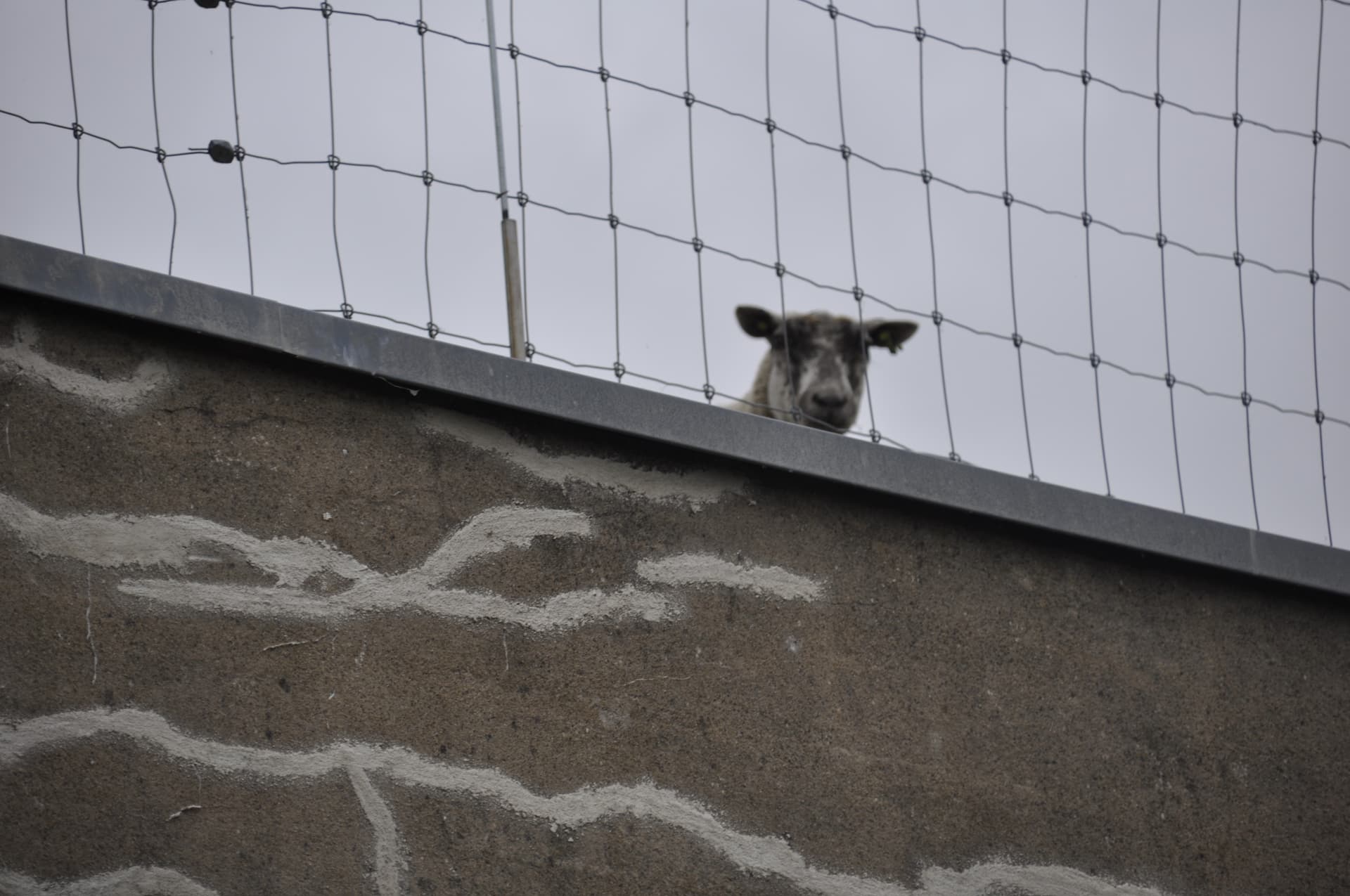
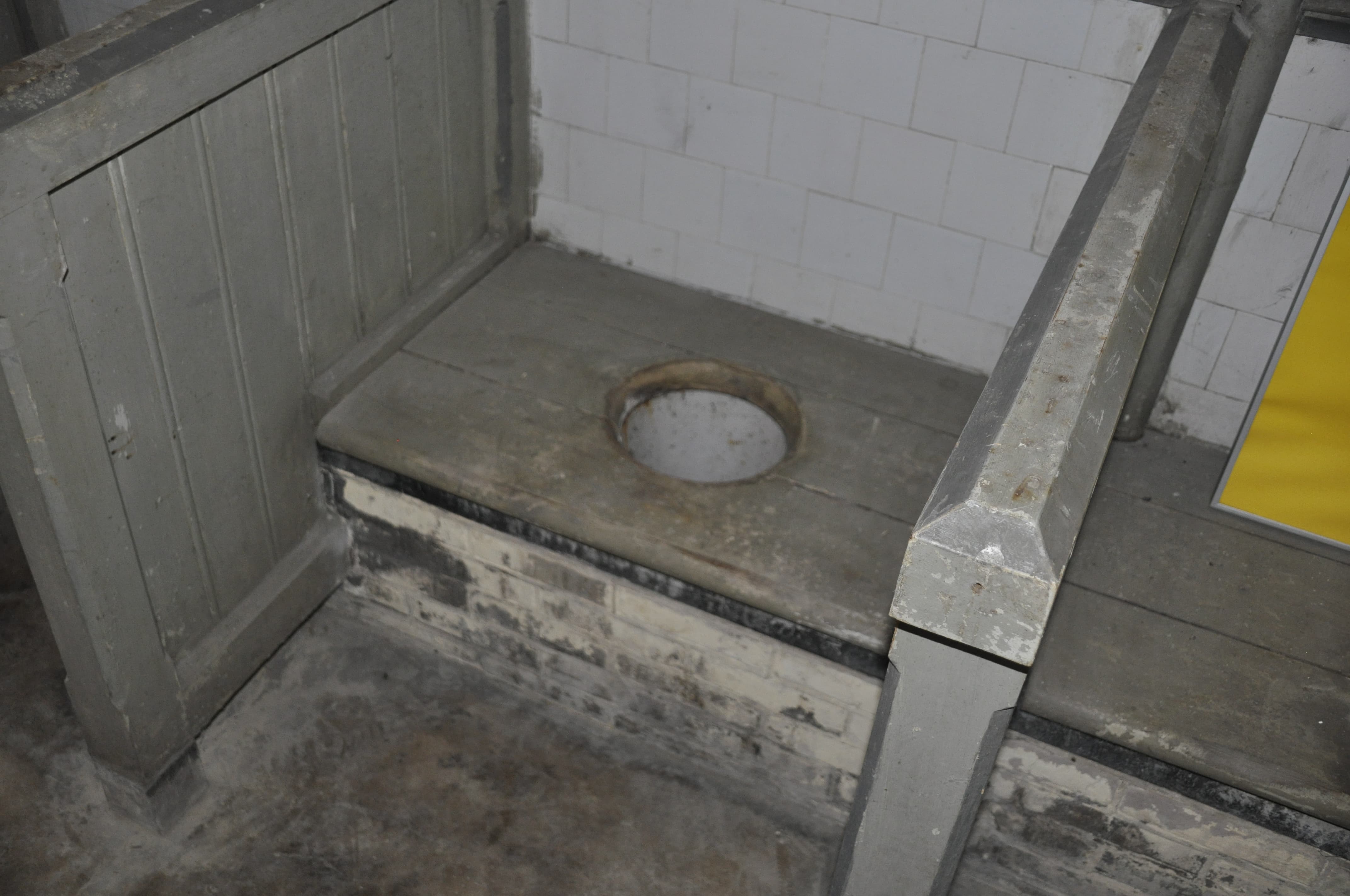
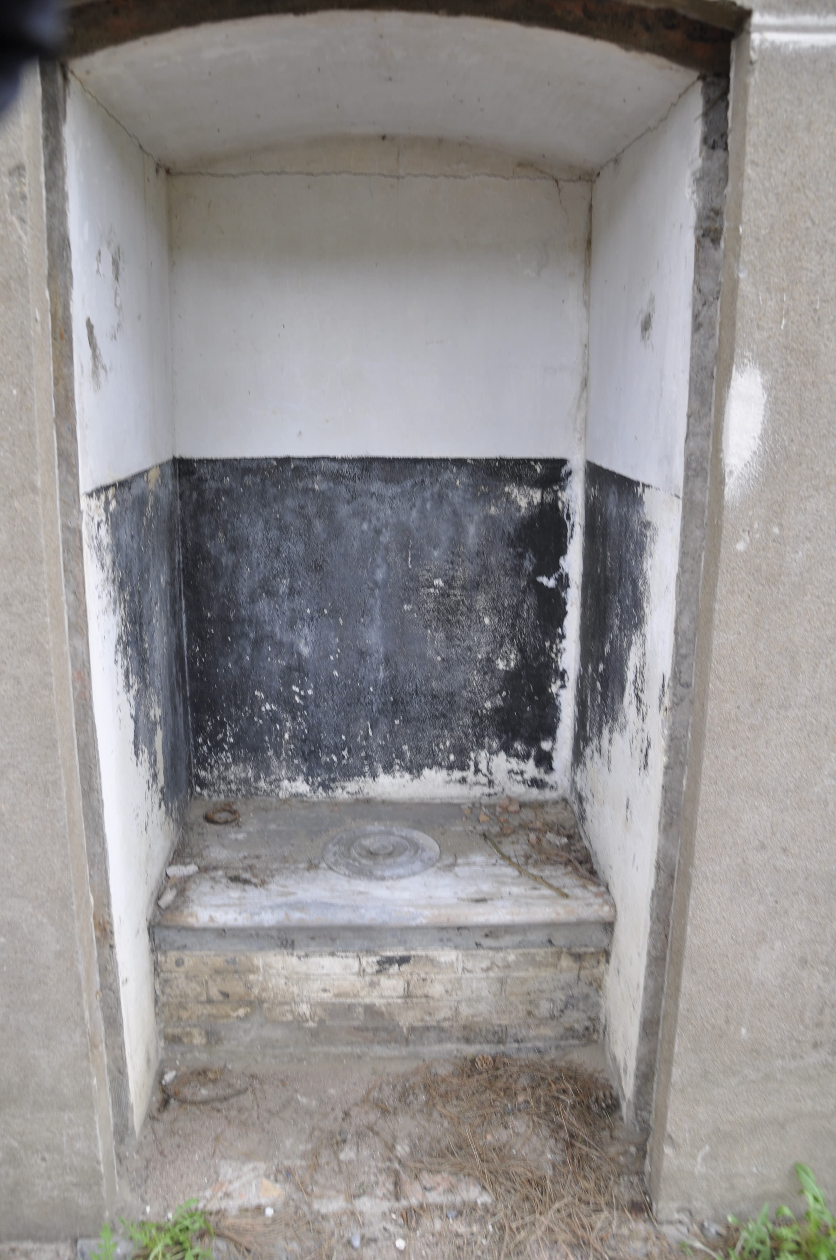
I see from the second photo that there is still a guard on duty ![]()
Erwin another nice set of photos from another of your countries fortifications. Thank you for sharing.
Yeah, I suspect he is either Welsh or Irish… Could be from the Dutch isle of Texel too! ![]()
I have still pictures from one fortress in my collection. I see if I can post them friday…